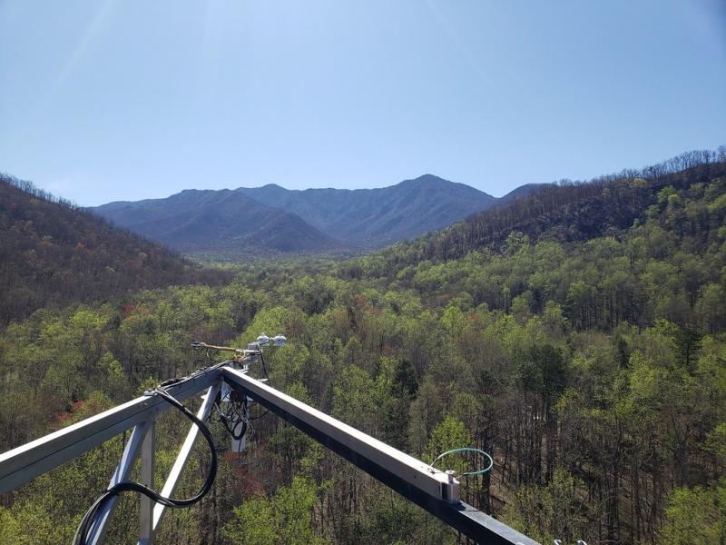
Great Smoky Mountains National Park NEON - United States of America

Basic Information
Site Name
Great Smoky Mountains National Park NEON
Short name
GRSM
Country
United States of America
Site Manager
Site Description
This relocatable terrestrial NEON site, comprised of 13 square miles within the 814 square miles of the Great Smoky Mountains National Park, is characterized by abundant rainfall, variable elevations, and an exceptional richness of biota hosted by closed-canopy deciduous old growth forests. It exists within the NEON Appalachians & Cumberland Plateau Domain, specifically located in the southwest area of Tennessee bordering North Carolina. As one of the largest protected areas in the eastern U.S., it is the most biodiverse park in the National Park system and the most visited. GRSM's terrestrial and aquatic plots are all contained in or near the Gatlinburg Ranger District. These plot locations were chosen because of their subjection to ecological phenomena, logistical convenience, and comparability to D07's core site (which is approximately 70 miles away). Remote sensing surveys of this field site collect lidar, spectrometer and high-resolution RGB camera data. The flux/meteorological tower at this site is 149’ with 6 measurement levels. The tower top extends above the vegetation canopy to allow sensors mounted at the top and along the tower to capture the full profile of atmospheric conditions from the top of the vegetation canopy to the ground. The tower collects physical and chemical properties of atmosphere-related processes, such as humidity, wind, and net ecosystem gas exchange. Precipitation data are collected by a tipping bucket at the top of the tower and a series of throughfalls located in the soil array. This site has five soil plots placed in an array within the airshed of the flux tower. Field ecologists collect the following types of observational data at this site: Terrestrial organisms (birds, ground beetles, mosquitoes, plants, small mammals, soil microbes, ticks), Biogeochemical data, and soil data.
Last modified
2021-03-03 11:03:31

CC-BY-NC Logo

General Characteristics and Status
Site Status
Operational
Year Established
2015
Observed properties
Affiliation and Network Specific Information
Affiliation
GERIThis site is a verified "GERI" member.
NEON (GRSM)This site is a verified "NEON" member.
Photos
View of Mt. LeConte from GRSM tower (c) Clay Howard
Geographic
Centroid/Representative Coordinates

Latitude: 35.68896 Longitude: -83.50195

Elevation (average)
579.00msl
Elevation (min)
426.00msl
Elevation (max)
1978.00msl
Download

Site information [.json]

Centroid/representative coordinates [.shp] [.kml]
Bounding Box [.shp] [.kml]
Boundaries [.shp] [.kml]