Hillsborough - United Kingdom

Basic Information
Site Name
Hillsborough
Short name
T03
Country
United Kingdom
Site Manager
Site Description
UK ECN site. A lowland grassland site situated at the Agri-Food and Biosciences Institute, Co. Down, Northern Ireland and representative of grassland in much of the north-western United Kingdom. There are several long-term field experiments ongoing on the site. A large part of the site is estate woodland (Hillsborough Forest) consisting of mature mixed woodland and conifer plantation. Many of the vegetation plots are located within this forested area, as are sections of the butterfly, carabid beetle, spider and bird transects. The Hillsborough premises had formerly been the home of Marquis of Downshire and then during the 1st world war had been used for cropping by local farmers. When the war ended agric commodities prices collapsed and large portions of the farm became derelict with rough grazing let out by public auction on a conacre basis from 1922-1926. The research station at Hillsborough was originally established in 1926 and incorporated by the Agricultural Research Station Act N.I. 1927. By 1931 263 acres was actively farmed.In 2006 the Agricultural Research Institute was amalgamated to form what is now called AGRI Food and Biosciences Institute.
Last modified
2023-07-28 10:07:09

CC-BY-NC Logo

General Characteristics and Status
Site Status
Operational
Year Established
1992
Observed properties
Affiliation and Network Specific Information
Affiliation
ILTERThis site is a verified "ILTER" member.
LTER EuropeThis site is a verified "LTER Europe" member.
UK ECN (LTER_EU_UK_049)This site is a verified "UK ECN" member.
COSMOS-UKThe affiliation of this site with "COSMOS-UK" is not verified by the network on DEIMS-SDR.
Photos
Aerial view of ECN Hillsborough
Buildings at ECN Hillsborough
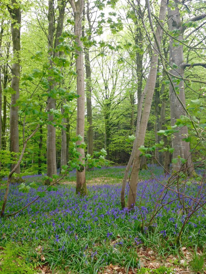
Bluebell woodland at ECN Hillsborough
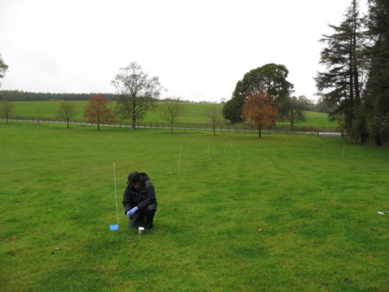
Person monitoring in grassland at ECN Hillsborough
Geographic
Centroid/Representative Coordinates

Latitude: 54.45 Longitude: -6.0667

Size
ca. 400.00ha
Elevation (average)
167.00msl
Elevation (min)
110.00msl
Elevation (max)
170.00msl
Download

Site information [.json]

Centroid/representative coordinates [.shp] [.kml]
Bounding Box [.shp] [.kml]
Boundaries [.shp] [.kml]