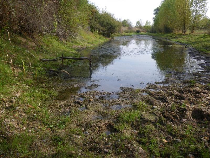
LTSER Zone Atelier Loire - Downstream Allier River - France
DEIMS.ID
https://deims.org/39c4ced0-d1b9-47a0-98a7-83a74fa08416
ProTip! Use the DEIMS.ID to reference sites in papers, reports or anywhere else.
Basic Information
Site Name
LTSER Zone Atelier Loire - Downstream Allier River
Short name
ZAL_Allier
Country
France
Web Address
Operating Organisation
Site Manager
Site Description
Last modified
2024-05-16 09:44:24
![]()
General Characteristics and Status
Site Status
Operational
Year Established
2007
Observed properties
Affiliation and Network Specific Information
Affiliation
ILTER✔This site is a verified "ILTER" member.
LTER Europe✔This site is a verified "LTER Europe" member.
LTER France✔ (LTER_FR_008_003)This site is a verified "LTER France" member.
Photos

Geographic
Centroid/Representative Coordinates
Latitude: 46.42 Longitude: 3.324722
Size
ca. 3500.00ha
Elevation (average)
210.00msl
Elevation (min)
200.00msl
Elevation (max)
230.00msl
Download