Post-mining lakes - Czechia
DEIMS.ID
https://deims.org/3c3beff8-a097-49a2-a7a1-f7b23a8bf876
ProTip! Use the DEIMS.ID to reference sites in papers, reports or anywhere else.
Basic Information
Site Name
Post-mining lakes
Short name
Post-mining lakes
Country
Czechia
Web Address
Operating Organisation
Site Manager
Funding Agency
Site Description
Last modified
2025-01-07 11:14:56
![]()
General Characteristics and Status
Site Status
Operational
Year Established
2001
Observed properties
Affiliation and Network Specific Information
Affiliation
CZ-LTER✔This site is a verified "CZ-LTER" member.
ILTER✔This site is a verified "ILTER" member.
LTER Europe✔This site is a verified "LTER Europe" member.
GERI✔This site is a verified "GERI" member.
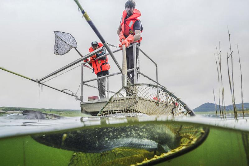
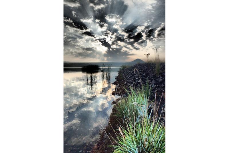
Photos


Geographic
Centroid/Representative Coordinates
Latitude: 50.538946 Longitude: 13.646135
Size
ca. 1055.00ha
Elevation (average)
250.00msl
Elevation (min)
145.00msl
Elevation (max)
400.00msl
Download