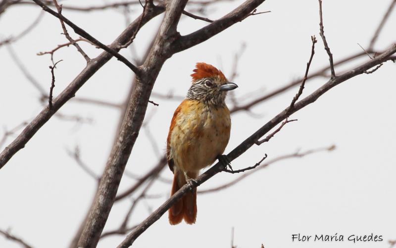
Catimbau National Park, STDF, Caatinga - Brazil

Basic Information
Platform Icon

Site Name
Catimbau National Park, STDF, Caatinga
Short name
PNCA
Country
Brazil
Site Manager
Site Description
The present proposal aims to assess how human disturbance and changes in rainfall regime affect the Caatinga ecosystem’s biota at different levels of biological organization (i.e, from populations to ecosystem level), by correlating these aspects with the theoretical reference shown in macro trends already documented in the tropics. The project will be developed in Catimbau National Park, a polygon of approximately 63,000 ha, and one of the most important protected areas in the Caatinga. The Park presents vocation for ecological studies of long-term and thus to become an LTER site due to a series of reasons: (1) it has a biological, archaeological and landscape heritage of inestimable value, (2) it shelters areas with different ...
Show more ...
Last modified
2020-12-18 10:12:36

CC-BY-NC Logo

General Characteristics and Status
Site Status
Operational
Year Established
2012
Observed properties
soil parameterchemical parametersoilmoisturefieldcapacitysoilsolutionconcentrationsoiltexturesoilwiltingpointavailablephosphorussoilpHdissolvedorganicphosphorus
Affiliation and Network Specific Information
Affiliation
ILTERThis site is a verified "ILTER" member.
LTER Brazil (LTER_SAM_BR_27)This site is a verified "LTER Brazil" member.
Photos
not defined
not defined
Geographic
5 km
3 mi
Centroid/Representative Coordinates

Latitude: -8.483792226053 Longitude: -37.335649221186

Size
ca. 62294.10ha
Elevation (average)
725.00msl
Elevation (min)
350.00msl
Elevation (max)
1100.00msl
Download

Site information [.json]

Centroid/representative coordinates [.shp] [.kml]
Bounding Box [.shp] [.kml]
Boundaries [.shp] [.kml]