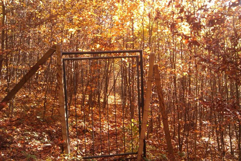
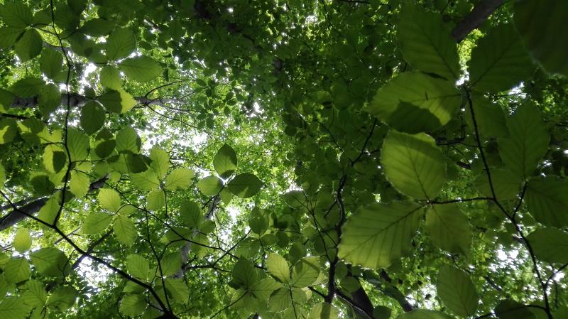
Kremnicke vrchy Ecological Experimental Station - Slovakia

Basic Information
Site Name
Kremnicke vrchy Ecological Experimental Station
Short name
EES Kremnicke vrchy
Country
Slovakia
Operating Organisation
Site Manager
Site Description
The research is focused on complex study of ecological processes running within the beech ecosystem at the lower edge of its occurrence. The Ecological Experimental Station (EES) was founded in the Kremnické vrchy Mountains (Western Carpathians, Slovakia) in 1986. It is located at 500 m a.s.l., on SW slope. The leading stand-forming association is Dentario bulbiferae-Fagetum Z l a t n i k 1935, with locally admixed Carici pilosae-Fagetum O b e r d. 1958. For both associations, to the permanent constituents (at different dominances and abundances) belong: Carex pilosa, Carex sylvatica, Carex digitata, Galium odoratum, Dentaria bulbifera, Anthyrium filix-femina, Dryopteris filix-mas. The dominant tree species at the locality is ...
Show more ...
Last modified
2025-01-07 11:01:56

CC-BY-NC Logo

General Characteristics and Status
Site Status
Operational
Year Established
1986
Observed properties
ecosystem parameterbiological parameteratmospheric parametersoil parameterwater parameterabovegroundnetprimaryproductionbirdsabundancebirdspresencediversityindexecosystemstructurefaunisticdiversityfloristicdiversityforeststructuregerminationdatespeciesabundancespeciesgroupabundancespeciespresencecanopycoverratecanopyheightfloweringdateleafareaplantcovertreeagetreebasalareatreediametertreeheightairhumidityairtemperatureozoneconcentrationprecipitationintensitysolarradiationsoiltemperaturesoiltexturephotosyntheticallyactiveradiationintensity
Affiliation and Network Specific Information
Affiliation
ILTERThis site is a verified "ILTER" member.
LTER Slovakia (LTER_EU_SK_002)This site is a verified "LTER Slovakia" member.
LTER EuropeThis site is a verified "LTER Europe" member.
GERIThis site is a verified "GERI" member.
Photos
Ecological Experimental Station - control plot
Geographic
100 m
500 ft
Centroid/Representative Coordinates

Latitude: 48.633852 Longitude: 19.069098

Size
ca. 6.87ha
Elevation (average)
470.00msl
Elevation (min)
450.00msl
Elevation (max)
510.00msl
Download

Site information [.json]

Centroid/representative coordinates [.shp] [.kml]
Bounding Box [.shp] [.kml]
Boundaries [.shp] [.kml]