North Wyke - United Kingdom

Basic Information
Site Name
North Wyke
Short name
T05
Country
United Kingdom
Operating Organisation
Site Manager
Site Description
UK ECN site. North Wyke (latitude 3o 54’ W; longitude 50o 46’N) lies in undulating countryside 7 km to the north of Dartmoor National Park, midway between the villages of South and North Tawton. The site covers 250 ha, of which 200 ha are grassland and 50 ha are deciduous woodland at an altitude of 120 m to 180 m. A lowland grassland site typical of conditions in wetter, western Britain, with predominately impermeable clays of the Culm Measures. ECN is funded through the Rothamsted Long-Term Experiments National Capability (LTE- NCG). Details available at http://www.rothamsted.ac.uk/long-term-experiments-national-capability.
Last modified
2023-07-28 10:07:32

CC-BY-NC Logo

General Characteristics and Status
Site Status
Operational
Year Established
1992
Observed properties
Affiliation and Network Specific Information
Affiliation
ILTERThis site is a verified "ILTER" member.
LTER EuropeThis site is a verified "LTER Europe" member.
UK ECN (LTER_EU_UK_051)This site is a verified "UK ECN" member.
COSMOS-UKThe affiliation of this site with "COSMOS-UK" is not verified by the network on DEIMS-SDR.
Photos
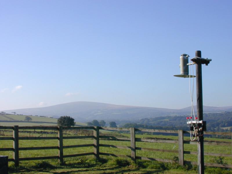
Air chemistry monitoring, ECN North Wyke
Meadow at ECN North Wyke
Moth light trap at North Wyke
Cattle at ECN North Wyke
Farm tractors at work, ECN North Wyke
Making soil solution measurements at North Wyke
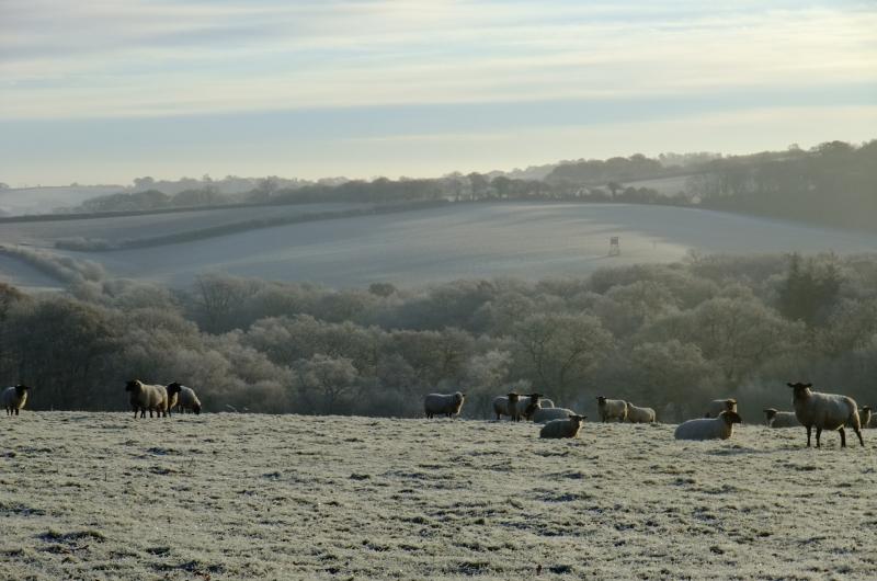
Farmland in winter at ECN North Wyke
Geographic
Centroid/Representative Coordinates

Latitude: 50.777686 Longitude: -3.910108

Size
ca. 250.00ha
Elevation (average)
159.00msl
Elevation (min)
120.00msl
Elevation (max)
180.00msl
Download
Site information [.json]

Centroid/representative coordinates [.shp] [.kml]
Bounding Box [.shp] [.kml]
Boundaries [.shp] [.kml]