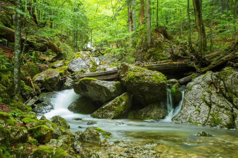
Wilderness Area Dürrenstein-Lassingtal - Austria

Basic Information
Site Name
Wilderness Area Dürrenstein-Lassingtal
Short name
WGDL
Country
Austria
Site Description
The wilderness area "Dürrenstein-Lassingtal" preserves the largest remaining primeval forest in the Alpine arc. It is an IUCN-recognized Category Ia + Ib protected area and has been a UNESCO World Natural Heritage Site since 2017. With its natural forests, it is an important building block in the effort to permanently protect rare ecosystems with their animal, plant, and fungus species. The protected site covers an area of about 7000 ha and is characterized by the largest and vastest natural forests of Austria, which have not been cultivated or managed since the last ice age. The old growth spruce-fir-beech forest „Rothwald“ is the core area, which covers approximately 400 ha. The research priorities are interdisciplinary monitoring and the steady continuation of the species inventory. Monitoring focuses on the impacts of wildlife and silvicultural management, ancient woodland indicator species (mainly fungi, woodpeckers and xylobiont beetles), the collection of climate data, the population ecology and impact of natural disturbances on the forest ecosystem. Furthermore, the wilderness area is involved in a resettlement project of the Ural Owl, which aims at establishing a survivable population of this species in Austria. There is only few infrastructure in the wilderness area. A gravel road provides access to the management zone of alpine pastures. In the eastern part, a gravel road forms a small part of the outer border. The accessibility of the core parts (virgin forest) of the area is difficult and only possible by foot. Regarding vehicles and appliances: - ATV (All Terrain Vehicle) - observation stations for climate data - observation station for photometry (Dark Sky Association) - infrared scouting cameras (in 2012, 25 new cameras will be installed) - huts (one inside the area, one nearby), no electricity Available data: FFH types of habitats, biodiversity data / species lists (bryophyta, fungi, bats, grouse, selected birds of prey, woodpeckers, xylobiont beetles, lepidoptera, locusts, odonata, diptera, ants, selected hymenoptera), results of research projects on forest ecosystem dynamics, soil organisms, the effects of game and small mammals on tree rejuvenation...
Last modified
2025-11-14 09:11:26

CC-BY-NC Logo

General Characteristics and Status
Site Status
Operational
Year Established
2002
Observed properties
Affiliation and Network Specific Information
Affiliation
LTER EuropeThis site is a verified "LTER Europe" member.
LTER Austria (LTER_EU_AT_004_001)This site is a verified "LTER Austria" member.
Photos
Primeval forest (by Hans Glader)
Geographic
Centroid/Representative Coordinates

Latitude: 47.743299 Longitude: 15.000858

Size
ca. 6873.37ha
Elevation (average)
1200.00msl
Elevation (min)
510.00msl
Elevation (max)
1878.00msl
Download

Site information [.json]

Centroid/representative coordinates [.shp] [.kml] [.geojson]
Bounding Box [.shp] [.kml] [.geojson]