Bedřichov catchment and reservoir - Czechia
DEIMS.ID
https://deims.org/58923a61-9633-4d06-b147-65d45d2919d3
ProTip! Use the DEIMS.ID to reference sites in papers, reports or anywhere else.
Basic Information
Site Name
Bedřichov catchment and reservoir
Short name
Bedrichov
Country
Czechia
Operating Organisation
Site Manager
Funding Agency
Site Description
Last modified
2025-11-24 12:36:36
![]()
General Characteristics and Status
Site Status
Operational
Year Established
1994
Observed properties
Affiliation and Network Specific Information
Affiliation
CZ-LTER✖The affiliation of this site with "CZ-LTER" is not verified by the network on DEIMS-SDR.
Projects
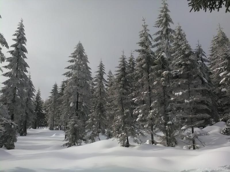
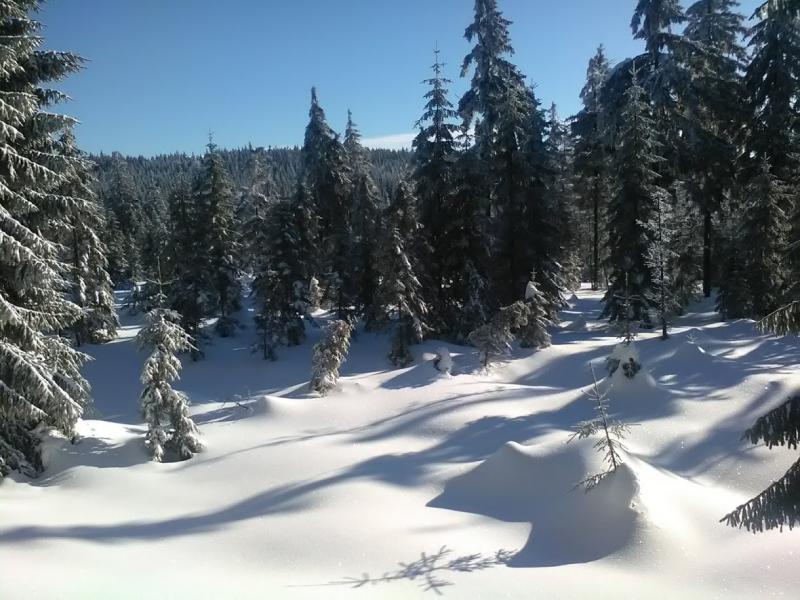
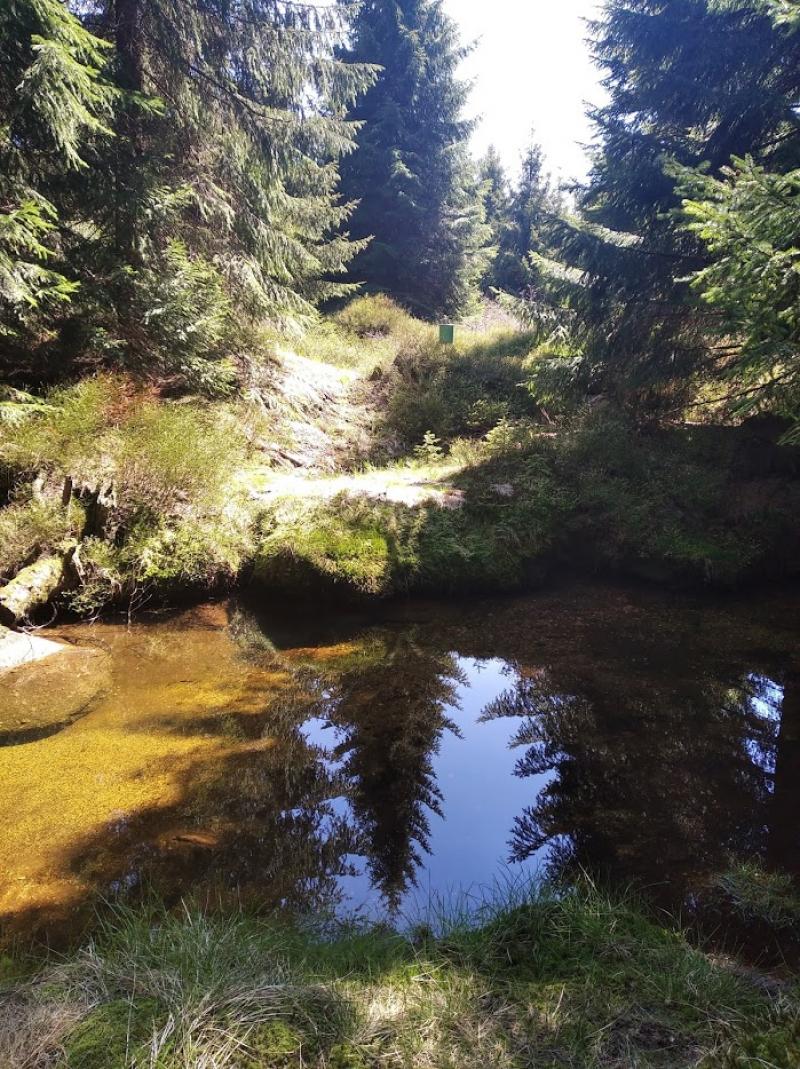
Photos


Geographic
Centroid/Representative Coordinates
Latitude: 50.8306642 Longitude: 15.1507544
Size
ca. 178.00ha
Elevation (average)
825.00msl
Elevation (min)
776.00msl
Elevation (max)
886.00msl
Download