LTSER MONDEGO ESTUARY - Portugal
DEIMS.ID
https://deims.org/5a38fc08-5257-4b13-8465-1d50ea166b95
ProTip! Use the DEIMS.ID to reference sites in papers, reports or anywhere else.
Basic Information
Site Name
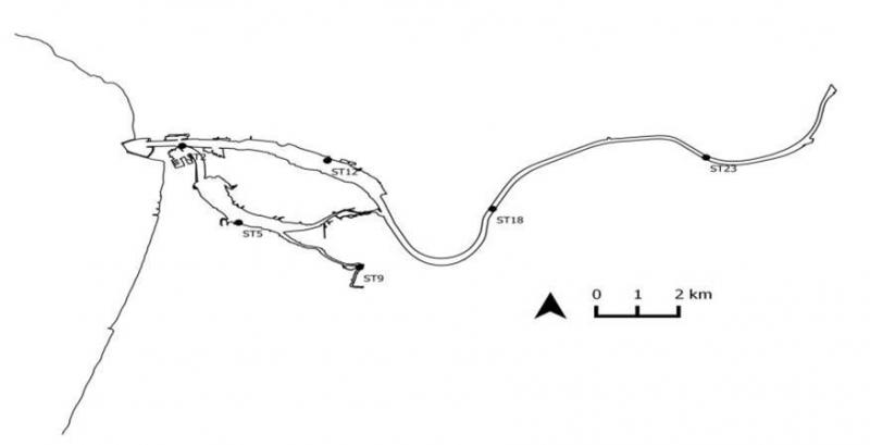
LTSER MONDEGO ESTUARY
Short name
Mondego estuary
Country
Portugal
Site Manager
Site Description
Last modified
2023-08-08 10:37:30
![]()
General Characteristics and Status
Site Status
Operational
Year Established
2011
Affiliation and Network Specific Information
Affiliation
ILTER✔This site is a verified "ILTER" member.
LTER Europe✔This site is a verified "LTER Europe" member.
LTER Portugal✔ (LTER_EU_PT_012)This site is a verified "LTER Portugal" member.
Photos
Geographic
Centroid/Representative Coordinates
Latitude: 40.133577 Longitude: -8.819962
Size
ca. 1600.00ha
Elevation (average)
10.00msl
Elevation (min)
0.00msl
Elevation (max)
30.00msl
Download