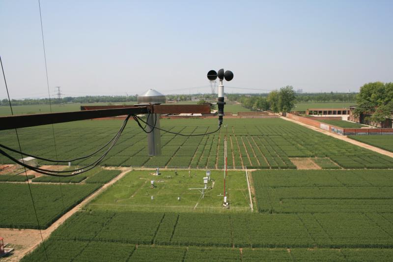
Luancheng Agricultural Ecological Station - China

Basic Information
Site Name
Luancheng Agricultural Ecological Station
Short name
Luancheng Station
Country
China
Site Description
Luancheng station, established in 1981, is one of the field stations of the Chinese Ecosystem Research Network (CERN) and a member of Global Terrestrial Observation System (GTOS). The station is also a demonstration base for modern agricultural technologies in Hebei province. In 2005, the station became one of the stations of the China National Ecosystem Observation and Research Network(CNERN). Luancheng Station is located in Luancheng county of Hebei province (37°53' N, 114°41'E and elevation at 50.1 m), represents the typical high production area in the northern part of the North China Plain. The rapid declining groundwater table has become the main problem that threatens the sustainable agricultural development in this area. The researches conducted at the station focus on the long-term investigations of farmland ecosystem, water and nutrients transfer and regulation mechanisms, modern water-saving technologies, molecular breeding, precision agriculture and regional sustainable agro-ecosystem demonstration models etc.. The station has 28 ha land for field research and provides accommodation for scientists and students to stay. There are laboratories, field research infrastructure and equipments to be used for different experiments.
Last modified
2020-06-29 10:06:52

CC-BY-NC Logo

General Characteristics and Status
Site Status
Operational
Year Established
1981
Observed properties
Affiliation and Network Specific Information
Affiliation
ILTERThis site is a verified "ILTER" member.
CERN (LTER China) (LTER-EAP-CN-3)This site is a verified "CERN (LTER China)" member.
GERIThis site is a verified "GERI" member.
Photos
not defined
not defined
not defined
not defined
not defined
not defined
not defined
not defined
not defined
not defined
Geographic
Elevation (average)
50.10msl
Elevation (min)
50.10msl
Elevation (max)
50.10msl
Download

Site information [.json]

Centroid/representative coordinates [.shp] [.kml]
Bounding Box [.shp] [.kml]
Boundaries [.shp] [.kml]