Kiskunság Fallow Overseeding Experiment - Hungary

DEIMS.ID
https://deims.org/639cb4c7-24ae-4821-b4ec-36d876b285e4

 ProTip! Use the DEIMS.ID to reference sites in papers, reports or anywhere else.

Basic Information
Site Name
Kiskunság Fallow Overseeding Experiment
Short name
KISKUN Overseeding
Country
Hungary
Site Manager
Site Description
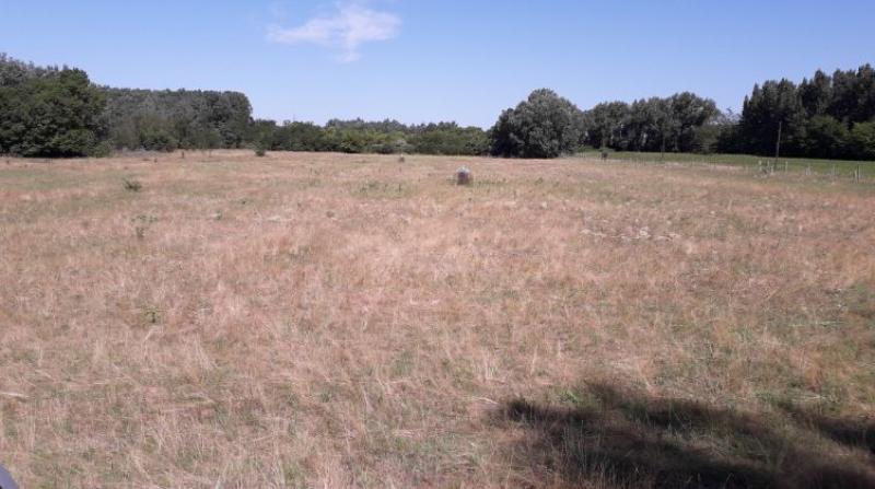
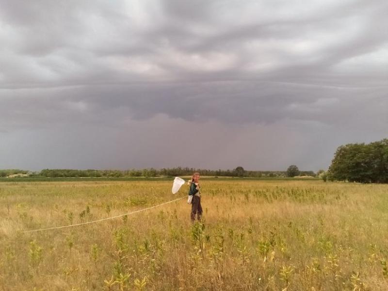
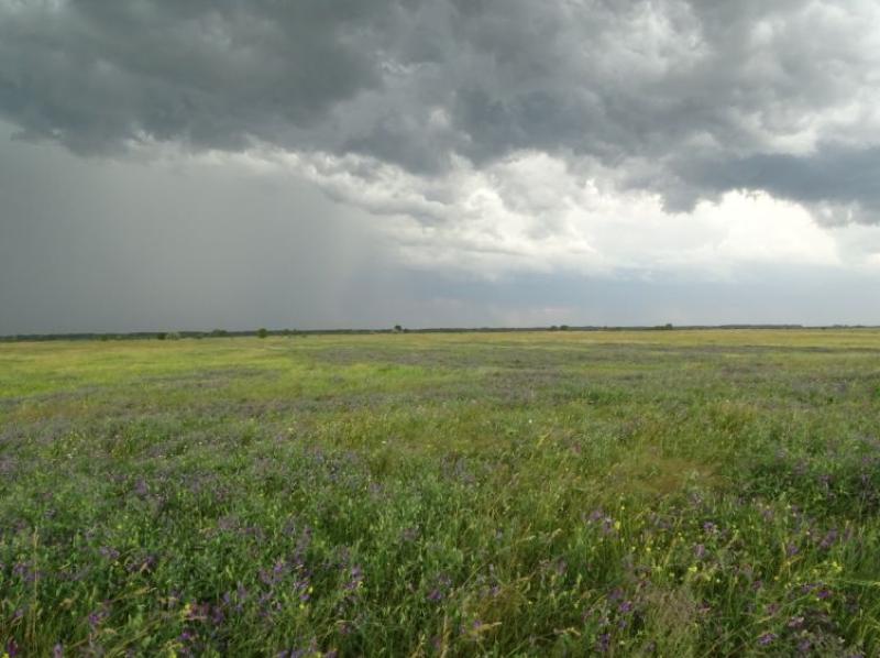
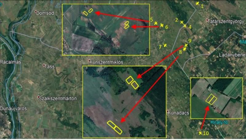
The Kiskunság Fallow Land Restoration Experiment was launched in 2019 to improve soil condition on abandoned arable land (fallow land). We hypothezise that improving soil quality will promote biodiversity and increase vegetation biomass. These changes are expected to enhance the ecological value of the area, while also increasing hay yields, which are important to local farmers. To improve soil properties, we overseeded fallow land with a seed mixture of native local plants, mainly legumes. We selected nine pairs of 50 x 100m plots on arable land that had been abandoned for approximately 15 years and had subsequently developed closed, grassland-like vegetation. Within each pair, the plots were located close to one another (approximately 50 m apart) and, where possible, within the same fallow field. One plot in each pair served as a control, while the other was overseeded with a mixture of 11 native plant species, including Onobrychis arenaria, Anthyllis vulneraria, Dianthus pontederae. Experimental treatments: - Until September 2019: The plots were mown as part of the pre-sowing preparation. - 9 and 16 September 2019: The treatment plots were overseeded with native seed mixture. - From 2020 onward: All plots were mown once a year in June, following local management practices. We assessed the effects of the restoration treatment by comparing treatment and control plots within each pair. The parameters measured included soil properties, vegetation characteristics, biomass, and pollinator communities.
Last modified
2026-11-04 11:37:17

CC-BY-NC Logo

General Characteristics and Status
Site Status
Operational
Year Established
2019
Observed properties
Affiliation and Network Specific Information
Affiliation
LTER Hungary✖ (https://deims.org/networks/0615a89f-2883-47ab-8cd0-2508f413cab7)The affiliation of this site with "LTER Hungary" is not verified by the network on DEIMS.
Photos
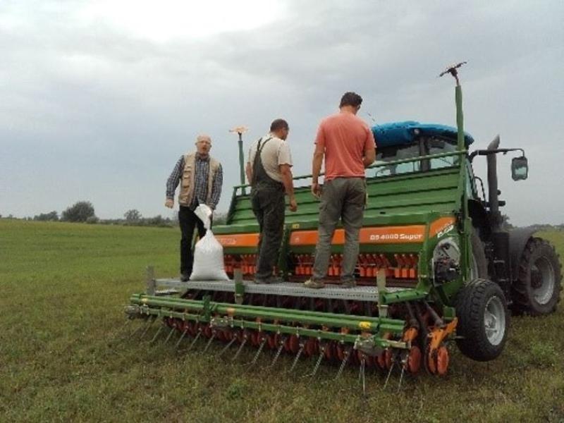
Photo 1
Photo 1
Photo 2
Photo 2
Photo 3
Photo 3
Photo 4
Photo 4
Sampling location
Sampling location
Geographic
Centroid/Representative Coordinates

Latitude: 47.071044 Longitude: 19.310875

Size
ca. 5963.47ha
Elevation (average)
95.00msl
Elevation (min)
93.00msl
Elevation (max)
97.00msl
Download

Site information [.json]

Centroid/representative coordinates [.shp] [.kml] [.geojson]
Bounding Box [.shp] [.kml] [.geojson]