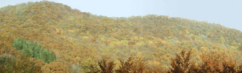
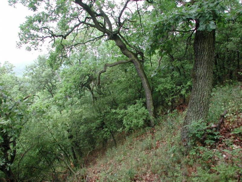
Var-hegy Forest Reserve Site, Sikfokut LTER - Hungary

Basic Information
Site Name
Var-hegy Forest Reserve Site, Sikfokut LTER
Short name
hu_sik_varhegy
Country
Hungary
Operating Organisation
Site Manager
Site Description
Central Europe maintains a considerable diversity of dry-mesic oak forests as the main representatives of zonal forest vegetation types in Hungary, covering the major part of foothills of the middle-range mountain, Inner Western Carpathians. The 669 m high, Triassic limestone hill called ‘Vár-hegy’ belongs to the Bükk Mountains. The annual mean temperature is about 8◦C and the annual precipitation is about 650 mm. The core area of the reserve (94 ha) is covered mainly by close-to-nature. long untouched oak dominated forests stands: Pannonic woods with Quercus petraea and Carpinus betulus; Pannonian-Balkanic Turkey oak-sessile oak forests; Pannonian woods with Quercus pubescens. It has been set aside for preservation in 1991, ...
Show more ...
Last modified
2025-01-07 11:01:56

CC-BY-NC Logo

General Characteristics and Status
Site Status
Operational
Year Established
1993
Observed properties
ecosystem parameterbiological parameterphysical parameteralphadiversitycanopyheightcanopystructurecrownclosuredeadwooddecayingratedeadwoodvolumeforeststructureplantcoverplantspeciescompositionplantspeciespresencestanddensitytreebasalareatreediameteratbreastheighttreeheightvegetationpatternbiologicaldiversitycanopyheightchangeinpopulationsizeovertimecrownclosurepopulationdensitytreebasalareatreeconditiontreediameteratbreastheighttreeheighttreemortalitysizedistribution
Affiliation and Network Specific Information
Affiliation
LTER Hungary (LTER_EU_HU_017)This site is a verified "LTER Hungary" member.
ILTERThis site is a verified "ILTER" member.
LTER EuropeThis site is a verified "LTER Europe" member.
GERIThis site is a verified "GERI" member.
Photos
Panoramic View of the Var-hegy Strict Forest Reserve, Photo by F. Horváth
Geographic
1 km
3000 ft
Centroid/Representative Coordinates

Latitude: 47.9594 Longitude: 20.4389

Size
ca. 339.00ha
Elevation (average)
500.00msl
Elevation (min)
400.00msl
Elevation (max)
600.00msl
Download

Site information [.json]

Centroid/representative coordinates [.shp] [.kml]
Bounding Box [.shp] [.kml]
Boundaries [.shp] [.kml]