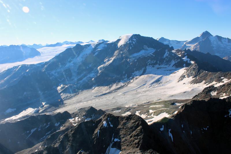
Kaunertal: From glacier to community - Austria
DEIMS.ID
https://deims.org/864da259-371e-4701-b72a-5295de28d6c6
ProTip! Use the DEIMS.ID to reference sites in papers, reports or anywhere else.
Basic Information
Site Name
Kaunertal: From glacier to community
Short name
Kaunertal
Country
Austria
Site Manager
Site Description
Last modified
2025-01-07 11:14:56
![]()
General Characteristics and Status
Site Status
Operational
Year Established
1952
Observed properties
Affiliation and Network Specific Information
Affiliation
ILTER✔This site is a verified "ILTER" member.
LTER Europe✔This site is a verified "LTER Europe" member.
World Glacier Monitoring Service (WGMS)✖The affiliation of this site with "World Glacier Monitoring Service (WGMS)" is not verified by the network on DEIMS-SDR.
GERI✔This site is a verified "GERI" member.
LTER Austria✔ (LTER_EU_AT_016)This site is a verified "LTER Austria" member.
Photos
Geographic
Centroid/Representative Coordinates
Latitude: 46.94343 Longitude: 10.743833
Size
ca. 19847.00ha
Elevation (average)
3208.00msl
Elevation (min)
1085.00msl
Elevation (max)
3502.00msl
Download