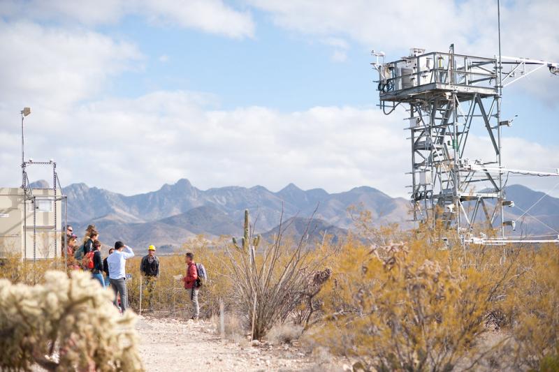
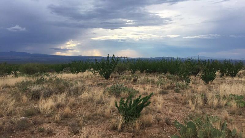
Santa Rita Experimental Range NEON - United States of America

Basic Information
Platform Icon

Site Name
Santa Rita Experimental Range NEON
Short name
SRER
Country
United States of America
Site Manager
Site Description
Santa Rite Experimental Range (SRER) is the core terrestrial field site for NEON's Domain 14: Desert Southwest and is located in the Santa Rita Experimental Range which encompasses 21,000 hectares of upland Sonoran Desert, approximately 32 km south of Tucson, Arizona. Remote sensing surveys of this field site collect lidar, spectrometer and high-resolution RGB camera data. The flux/meteorological tower at this site is 26’ with 4 measurement levels. The tower top extends above the vegetation canopy to allow sensors mounted at the top and along the tower to capture the full profile of atmospheric conditions from the top of the vegetation canopy to the ground. The tower collects physical and chemical properties of ...
Show more ...
Last modified
2020-07-27 10:07:33

CC-BY-NC Logo

General Characteristics and Status
Site Status
Operational
Year Established
2015
Observed properties
atmospheric parameterecosystem parameterbiological parameterchemical parametergenetic parameterlandscape parametersoil parameterairtemperatureheatfluxozoneconcentrationprecipitationintensitylatentheatleafareaindexplantdiversityspeciesabundanceabovegroundbiomasssoilcarbondioxydefluxDNAsequencelandcoversoilmoisturecontent
Affiliation and Network Specific Information
Affiliation
GERIThis site is a verified "GERI" member.
NEON (SRER)This site is a verified "NEON" member.
Photos
ecoforecasting Workshop 2019 at SRER, photo by Abe Karam
Geographic
5 km
3 mi
Centroid/Representative Coordinates

Latitude: 31.91068 Longitude: -110.83549

Elevation (average)
983.00msl
Elevation (min)
897.00msl
Elevation (max)
1461.00msl
Download

Site information [.json]

Centroid/representative coordinates [.shp] [.kml]
Bounding Box [.shp] [.kml]
Boundaries [.shp] [.kml]