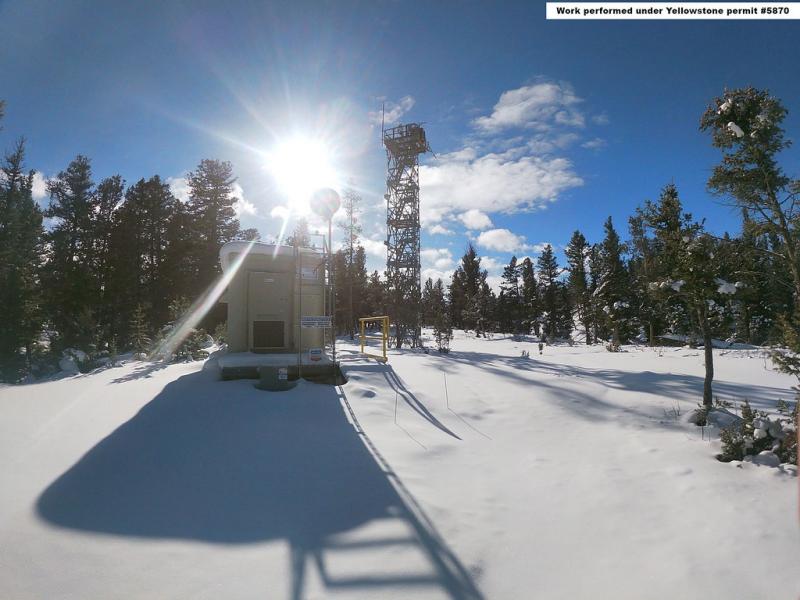
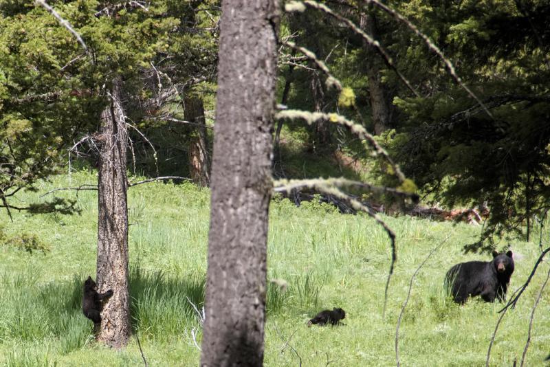
Yellowstone National Park NEON - United States of America

Basic Information
Platform Icon

Site Name
Yellowstone National Park NEON
Short name
YELL
Country
United States of America
Site Manager
Site Description
Yellowstone National Park (YELL) is a terrestrial NEON field site located 100 km (62 mi.) southeast of Bozeman, MT, just south of the Wyoming-Montana state line. The 72.5 km2 (17,900 acre) site lies within the northern reaches of Yellowstone National Park and is hosted by the National Park Service. The terrain consists of rolling hills, which span from 1840 - 2245 m (6036 - 7360 ft.) in elevation at the site. The site is a mosaic of pine-dominated forest mixed with open swaths of sage and grass and small wetlands. The area is visited by tourists and fisherman regularly during the summer. YELL is highly representative of a wildland area in NEON's Northern Rockies Domain (D12). The trophic structure and community interactions are probably more representative of those that were widespread in the region before Euro-American influence than any other place in the Domain. Thus, the site offers a rare opportunity to understand interactions among climate, natural disturbance, ecosystem processes, and community structure in integrated terrestrial and aquatic systems that are representative of those of intact wildlands across the Domain. Domain 12 comprises the northern part of the Rocky Mountain Range in western Montana, Idaho and northwestern Wyoming and has two field sites: YELL and the colocated BLDE aquatic site.
Last modified
2025-09-18 14:09:39

CC-BY-NC Logo

General Characteristics and Status
Site Status
Operational
Year Established
2018
Observed properties
Affiliation and Network Specific Information
Affiliation
GERIThis site is a verified "GERI" member.
NEON (YELL)This site is a verified "NEON" member.
Photos
YELL tower in the snow
Baby bears at YELL, photo taken by Taylor Westhusin
Geographic
Centroid/Representative Coordinates

Latitude: 44.95348 Longitude: -110.53914

Size
ca. 7250.00ha
Elevation (average)
2133.00msl
Elevation (min)
1847.00msl
Elevation (max)
2244.00msl
Download

Site information [.json]

Centroid/representative coordinates [.shp] [.kml] [.geojson]
Bounding Box [.shp] [.kml] [.geojson]