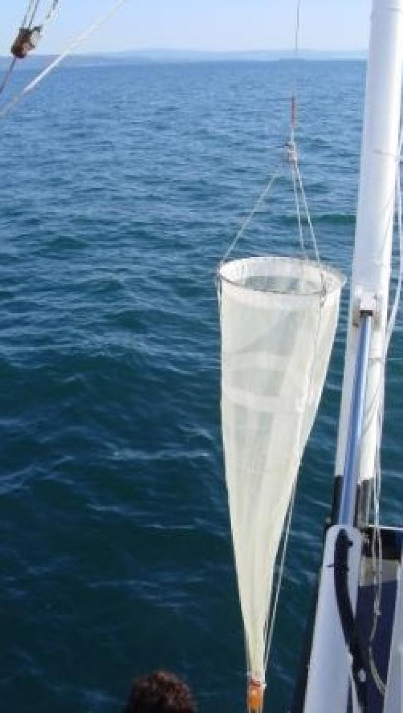
Golfo di Trieste - Italy

Basic Information
Site Name
Golfo di Trieste
Short name
IT12-002-M
Country
Italy
Site Manager
Site Description
The coastal marine observatory site Gulf of Trieste lies within the Marine Protected Area (MPA) of Miramare and includes the biological time-series station “C1”, part of the Italian Long-Term Ecological Research (LTER) network, and the in situ continuous MAMBO meteo-oceanographic buoy. Marine Protected Areas represent one of the most effective systems for marine biodiversity preservation and management. Since 1986, the time-series station “C1” in the Gulf of Trieste (GoTTs, Gulf of Trieste Time series) represents a crucial site for marine ecological research, as it is subject to the interaction among several natural forcing (river, groundwater discharge, tides, general circulation, intense meteorological) and numerous anthropogenic activities (maritime transport, harbours of Trieste and Monfalcone, urban waste discharge, mussel- and fish-farming, fishing and recreational activities). In 1999, the ecological research site has been equipped with a meteo oceanographic buoy (MAMBO) in order to acquire continuous data on meteorological conditions at sea and on seawater physical and biogeochemical properties. Due to the high temporal dynamics of ecological processes in coastal ecosystems, continuous and real-time data of the main meteorological, physical and biogeochemical properties are fundamental for a better understanding of marine ecosystem functioning.
Last modified
2023-10-26 01:10:25

CC-BY-NC Logo

General Characteristics and Status
Site Status
Operational
Year Established
1986
Observed properties
Affiliation and Network Specific Information
Affiliation
ILTERThis site is a verified "ILTER" member.
LTER EuropeThis site is a verified "LTER Europe" member.
LTER Italia (Italy) (LTER_EU_IT_056)This site is a verified "LTER Italia (Italy)" member.
ICOS (http://meta.icos-cp.eu/ontologies/stationentry/OS/IT-Mambo1)The affiliation of this site with "ICOS" is not verified by the network on DEIMS-SDR.
Photos
not defined
not defined
not defined
not defined
Geographic
Elevation (average)
-9.00msl
Elevation (min)
-18.00msl
Elevation (max)
0.00msl
Download

Site information [.json]

Centroid/representative coordinates [.shp] [.kml]
Bounding Box [.shp] [.kml]
Boundaries [.shp] [.kml]