Site Name
LTSER MIRA ESTUARY
Site Description
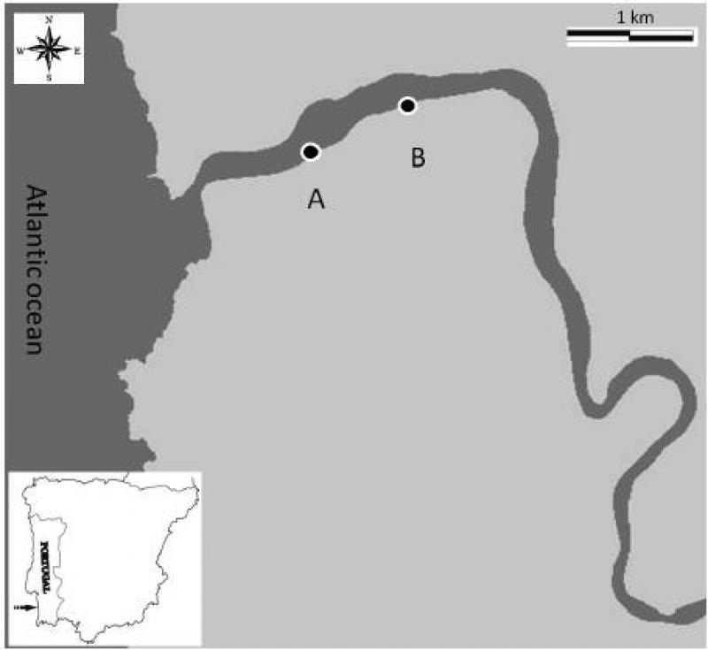
The Mira estuary is a small system (2 km2) located at the Southwestern coast of Portugal that extends between Vila Nova de Milfontes at the mouth and Odemira at its upper limit. It is a narrow entrenched system, with a length of more than 40 km and a mean depth of about 6 m. Saline variability is higher in the middle estuary and sediments are usually dominated by mud and/or fine sand, except in both ends of the system where coarse sediment particles predominate. Near the river mouth presents ecologically important seagrass beds of Zostera marina and Zostera noltii in the subtidal and intertidal areas, respectively. Given the knowledge already available for fishes, benthic macroinvertebrates and saltmarshes communities in the Mira estuary, these are the biologic groups that will be studied with more detail in order to monitor their evolution and assess the hypothetic influence of climatic change and human activities in such evolution. In addition, zooplankton studies will be performed to investigate the impact of the hydromedusae exotic invader Blackfordia virginica in the different compartments of the Mira estuary ecosystem. It is usually considered a well preserved system due to reduced human population and industry. It has high conservation status because the entire estuary is included in a nature protected area (Parque Natural do Sudoeste Alentejano e Costa Vicentina) limiting fishing activities that currently are not allowed. The major threat to this ecosystem is the increasing touristic pressure in all the southwestern coast of Portugal, which may have serious implications to the estuarine water quality. Moreover, several fish farms were installed and agriculture (mainly rice fields) and forestry activities (mainly eucalyptus plantations) occupy an important extension of the water margins. The upstream estuarine areas show a slight contamination by heavy metals due to previous mineral extraction activities in the river basin. Several studies have been conducted in the estuary since the 1980’s. Little information is available for phytoplankton and macroalgae but data about saltmarshes and seagrass beds are much more abundant. Zooplankton data is also scarce but has increased in recent years, particularly with studies on the exotic invasive species Blackfordia virginica. Meiofauna was only studied in Zostera beds but benthic macroinvertebrates and fishes have been studied in more detail along the entire estuarine gradient. Nevertheless, investigation of modifications in these communities related with climate change, human activities and introduction of exotic species must proceed.
Last modified
2023-08-08 10:35:15