Devin thermophilous woods - Czechia

Basic Information
Site Name
Devin thermophilous woods
Short name
Devin
Country
Czechia
Site Manager
Site Description
Děvín is a considerable site of forest and non-forest ecosystems of the warmest part of the Czech Republic. Due to heterogeneous geomorphology, it comprises a range of habitat conditions and vegetation types. Forests cover about 3/4 of the area and they are formed mainly by oak-hornbeam wood, thermophilous oak wood, and ravine wood. The forests of Děvín were strictly managed as a coppice in the past. The oldest records are available from the late 14th century. The cutting period was as short as 7 years in the Middle Age and then gradually increased to 15–25 years during the 17th–19th centuries. A reason of the coppice management was the need of firewood. This probably led to a dominance of the large-leaved lime (Tilia ...
Show more ...
Last modified
2025-01-07 11:01:07

CC-BY-NC Logo

General Characteristics and Status
Site Status
Operational
Year Established
1953
Observed properties
biological parameterecosystem parameterchemical parametersoil parameteratmospheric parameterenvironmental parametercanopycoverratenitrogencontenttreeagetreebasalareatreediametertreeheightecosystemstructureforeststructurenaturalnessspeciesturnovertreediameteratbreastheighttreedistributionavailablephosphoruspercentcarbonpercentnitrogenpercentorganiccarbonsoilpHsoilaciditysoilnutrientsoiltemperatureairtemperatureabioticheterogeneity
Affiliation and Network Specific Information
Affiliation
CZ-LTER (LTER_EU_CZ_018)This site is a verified "CZ-LTER" member.
ILTERThis site is a verified "ILTER" member.
LTER EuropeThis site is a verified "LTER Europe" member.
GERIThis site is a verified "GERI" member.
EuroMABThe affiliation of this site with "EuroMAB" is not verified by the network on DEIMS-SDR.
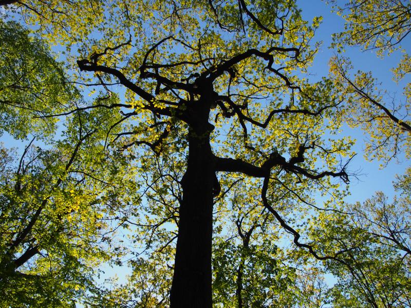
Photos
Coppice-with-standards
Geographic
1 km
3000 ft
Centroid/Representative Coordinates

Latitude: 48.8667 Longitude: 16.65

Size
ca. 380.00ha
Elevation (average)
380.00msl
Elevation (min)
280.00msl
Elevation (max)
550.00msl
Download

Site information [.json]

Centroid/representative coordinates [.shp] [.kml]
Bounding Box [.shp] [.kml]
Boundaries [.shp] [.kml]