Jornada Experimental Range NEON - United States of America
DEIMS.ID
https://deims.org/9a9e1cb0-c43d-463a-87f4-e44697739d1a
ProTip! Use the DEIMS.ID to reference sites in papers, reports or anywhere else.
This record was created automatically using information from the:
Basic Information
Site Name
Jornada Experimental Range NEON
Short name
JORN
Country
United States of America
Web Address
Site Manager
Site Description
Last modified
2025-09-17 14:52:02
![]()
General Characteristics and Status
Site Status
Operational
Year Established
2017
Observed properties
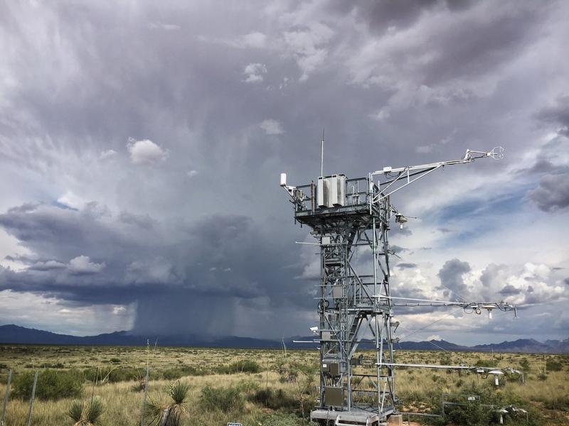
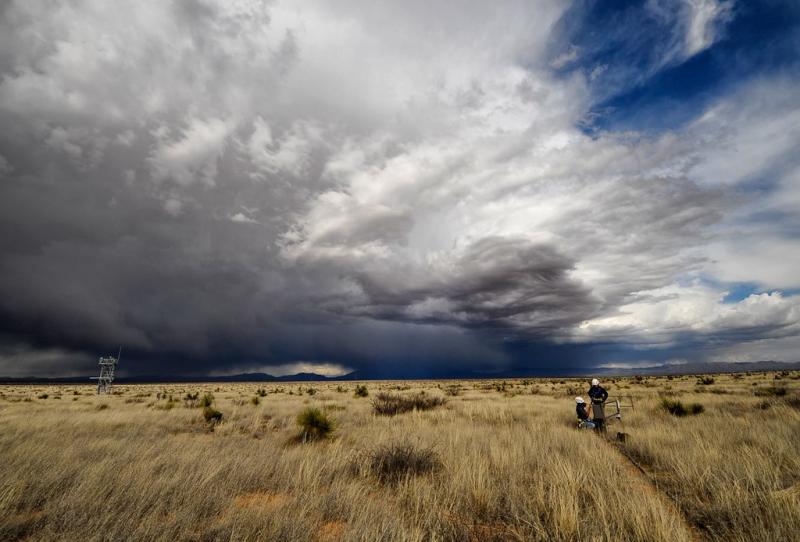
Photos
Geographic
Centroid/Representative Coordinates
Latitude: 32.59068 Longitude: -106.84254
Size
ca. 4570.00ha
Elevation (average)
1324.00msl
Elevation (min)
1316.00msl
Elevation (max)
1333.00msl
Download