Niwot Ridge NEON - United States of America
DEIMS.ID
https://deims.org/bd3322ed-0ae8-4da5-beb5-1bd5c9205fa1
ProTip! Use the DEIMS.ID to reference sites in papers, reports or anywhere else.
This record was created automatically using information from the:
Basic Information
Site Name
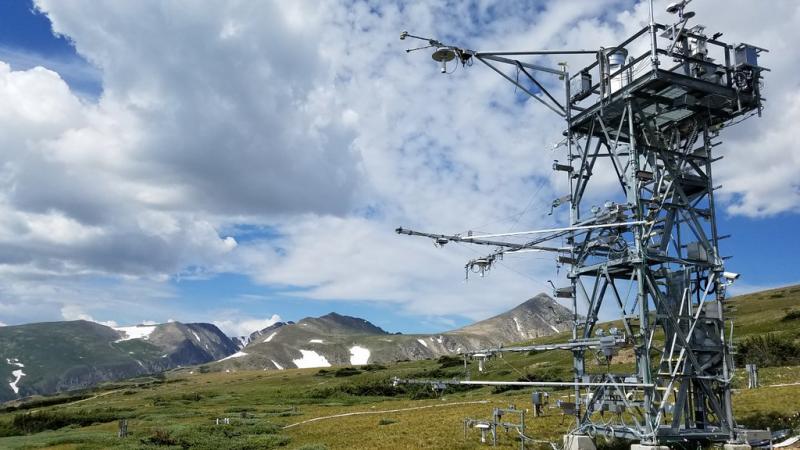
Niwot Ridge NEON
Short name
NIWO
Country
United States of America
Web Address
Site Manager
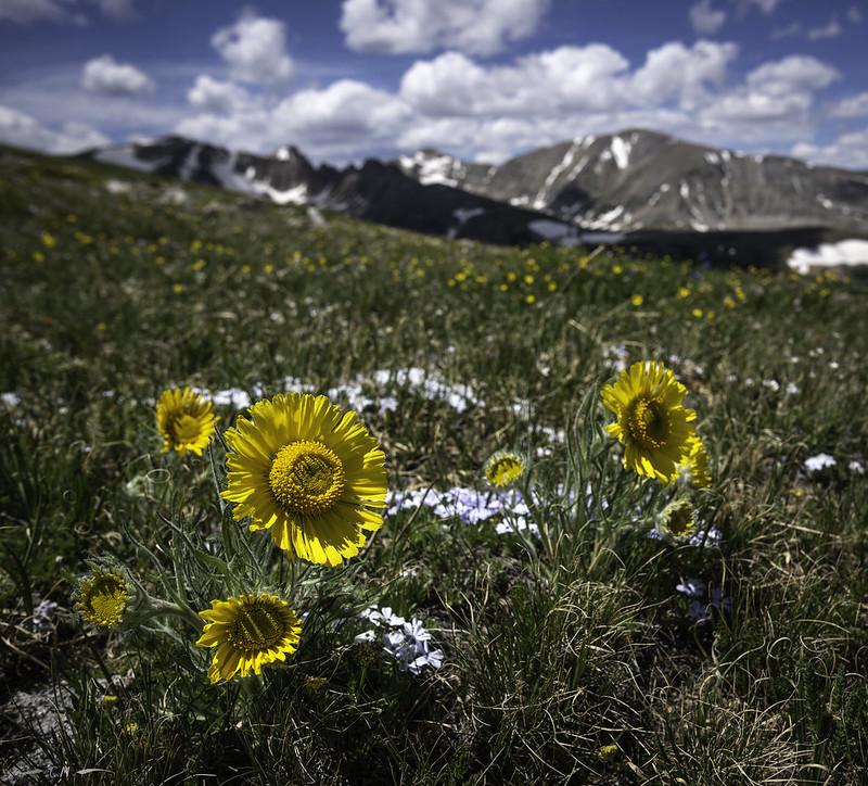
Site Description
Last modified
2025-09-18 10:19:25
![]()
General Characteristics and Status
Site Status
Operational
Year Established
2015
Observed properties
Photos
Geographic
Centroid/Representative Coordinates
Latitude: 40.05425 Longitude: -105.58237
Size
ca. 1340.00ha
Elevation (average)
3490.00msl
Elevation (min)
2975.00msl
Elevation (max)
3583.00msl
Download