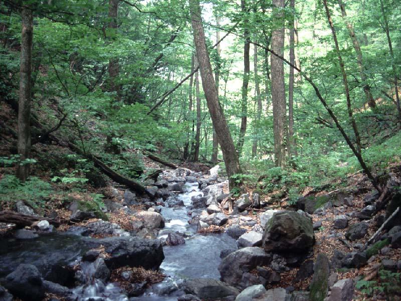
Ooyamazawa Riparian Forest Research Site - Japan

Basic Information
Site Name
Ooyamazawa Riparian Forest Research Site
Short name
ORF
Country
Japan
Operating Organisation
Site Manager
Site Description
Riparian forest in cool-temparate zone.The study site (35°57'30"N, 138°45'32"E) is located in a riparian zone along a small stream (Ooyamazawa) of the Nakatsugawa branch of the Arakawa River, in Chichibu Mountains, central Japan. This site is located in the protected Chichibu-Tama National Park and ranged from 1210-1530 m above sea level. This riparian forest in this area phytosociologically belongs to the Chrysosplenio-Fraxinetum spaethianae, a typical riparian forest. Dominant canopy species in this area are Fraxinus platypoda, Pterocarya rhoifolia and Cercidiphyllum japonicum over 30 m in tree height. The subcanopy specie are Acer shirasawanum and Acer mono, and the understory is primarily composed of Acer carpinifolium and Acer argutum. The area around the study plot is no human disturbances such as logging or erosion control works. This study site is a part of the Monitoring Sites 1000 Project launched by the Ministry of the Environment, Japan, and also is one of a Japan Long-Term Ecological Research (JaLTER) Sites.
Last modified
2020-06-29 10:06:43

CC-BY-NC Logo

General Characteristics and Status
Site Status
Operational
Year Established
1987
Observed properties
Affiliation and Network Specific Information
Affiliation
ILTERThis site is a verified "ILTER" member.
JaLTER (Japan) (LTER-EAP-JP-38)This site is a verified "JaLTER (Japan)" member.
Photos
not defined
not defined
Geographic
Centroid/Representative Coordinates

Latitude: 35.9583 Longitude: 138.759

Elevation (average)
1450.00msl
Elevation (min)
1210.00msl
Elevation (max)
1530.00msl
Download

Site information [.json]

Centroid/representative coordinates [.shp] [.kml]