Sanjiang Plain Marsh Ecological Experimental Station - China
DEIMS.ID
https://deims.org/c9ba2a84-6fb3-4061-a9ec-529954b948c8
ProTip! Use the DEIMS.ID to reference sites in papers, reports or anywhere else.
Basic Information
Site Name
Sanjiang Plain Marsh Ecological Experimental Station
Short name
SJM
Country
China
Site Manager
Site Description
Last modified
2020-12-18 10:57:15
![]()
General Characteristics and Status
Site Status
Operational
Year Established
1986
Observed properties
Affiliation and Network Specific Information
Affiliation
ILTER✔This site is a verified "ILTER" member.
CERN (LTER China)✔ (LTER-EAP-CN-29)This site is a verified "CERN (LTER China)" member.
GERI✔This site is a verified "GERI" member.
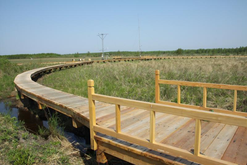
Photos


Geographic
Centroid/Representative Coordinates
Latitude: 47.5833 Longitude: 133.517
Size
ca. 167.00ha
Elevation (average)
56.00msl
Elevation (min)
55.00msl
Elevation (max)
57.00msl
Download