IISD Experimental Lakes Area - Canada
DEIMS.ID
https://deims.org/cc646930-044e-49f5-963a-2c1b8a5d9bd2
ProTip! Use the DEIMS.ID to reference sites in papers, reports or anywhere else.
Basic Information
Site Name
IISD Experimental Lakes Area
Short name
IISD-ELA
Country
Canada
Web Address
Operating Organisation
Site Manager
Site Description
Last modified
2025-09-05 09:56:02
![]()
General Characteristics and Status
Site Status
Operational
Year Established
1968
Observed properties
Climate
Precipitation Sum: 765 mm
Temperature Mean: 3.16 °C
Standard Reference Period: 1991 - 2020
Temperature Mean: 3.16 °C
Standard Reference Period: 1991 - 2020
Affiliation and Network Specific Information
Affiliation
ILTER✔This site is a verified "ILTER" member.
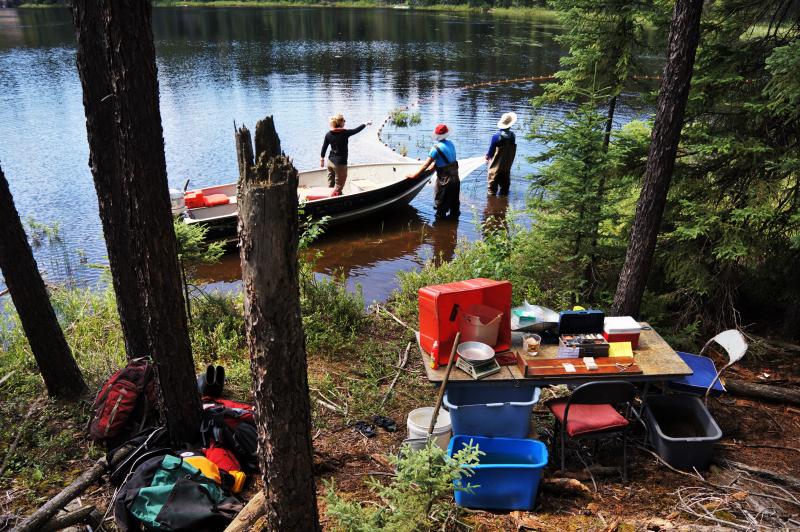
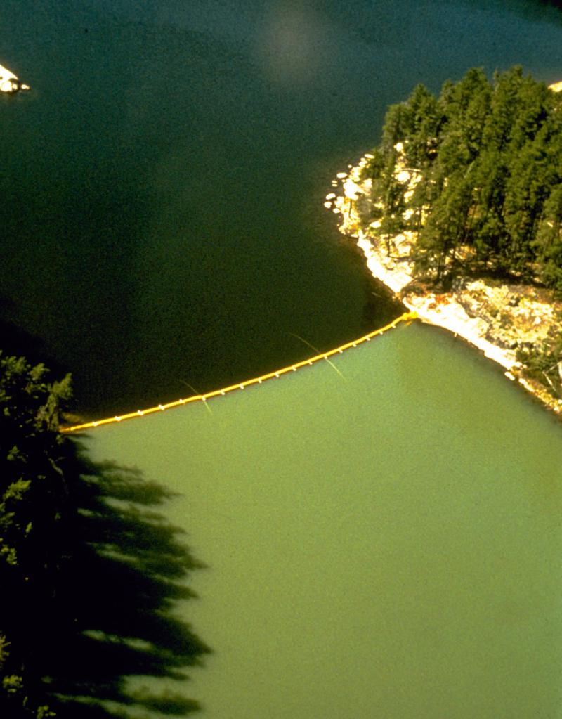
Photos


Geographic
Centroid/Representative Coordinates
Latitude: 49.660135 Longitude: -93.727663
Size
ca. 59634.03ha
Elevation (average)
423.00msl
Elevation (min)
368.00msl
Elevation (max)
493.00msl
Download