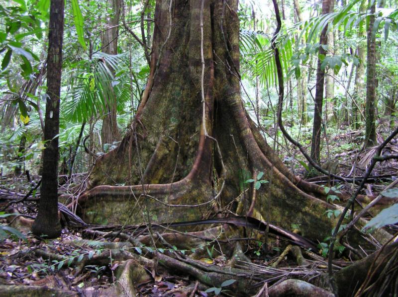
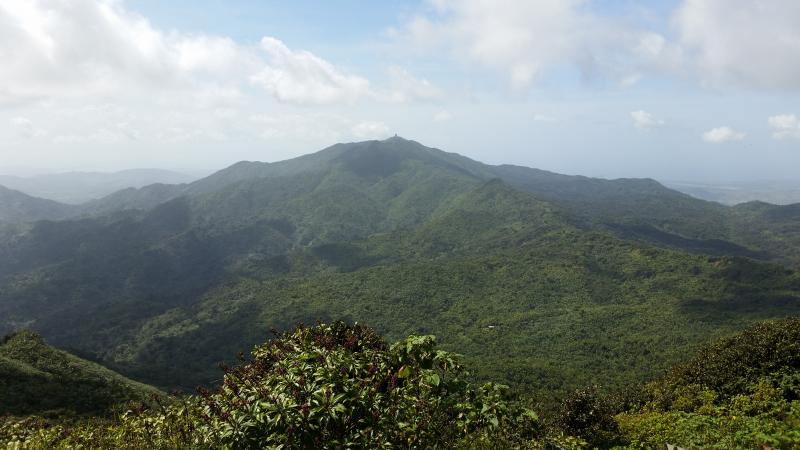
Luquillo Forest Dynamics Plot - Puerto Rico
DEIMS.ID
https://deims.org/d71bb3ec-11b7-49da-a246-d15120505c8d
ProTip! Use the DEIMS.ID to reference sites in papers, reports or anywhere else.
Basic Information
Site Name
Luquillo Forest Dynamics Plot
Short name
Big Grid
Country
Puerto Rico
Site Manager
Site Description
Last modified
2023-07-26 08:23:36
![]()
Affiliation and Network Specific Information
Projects
Photos
Geographic
Sites are only displayed in the site overview map if they have set an active site status.
Centroid/Representative Coordinates
Latitude: 18.3333 Longitude: -65.8167
Size
ca. 16.00ha
Elevation (average)
333.00msl
Elevation (min)
333.00msl
Elevation (max)
428.00msl
Download