Lönnstorp Research Station - Sweden
DEIMS.ID
https://deims.org/d733f936-b0b6-4bc1-9ab5-6cdb4081763a
ProTip! Use the DEIMS.ID to reference sites in papers, reports or anywhere else.
Basic Information
Site Name
Lönnstorp Research Station
Short name
Lönnstorp
Country
Sweden
Web Address
Site Manager
Site Description
Last modified
2025-01-07 11:14:56
![]()
General Characteristics and Status
Site Status
Operational
Year Established
1969
Observed properties
Affiliation and Network Specific Information
Affiliation
ILTER✔This site is a verified "ILTER" member.
Swedish Infrastructure for Ecosystem Science (SITES)✔This site is a verified "Swedish Infrastructure for Ecosystem Science (SITES)" member.
LTER Europe✔This site is a verified "LTER Europe" member.
LTER Sweden✔ (LTER_EU_SE_020)This site is a verified "LTER Sweden" member.
GERI✔This site is a verified "GERI" member.
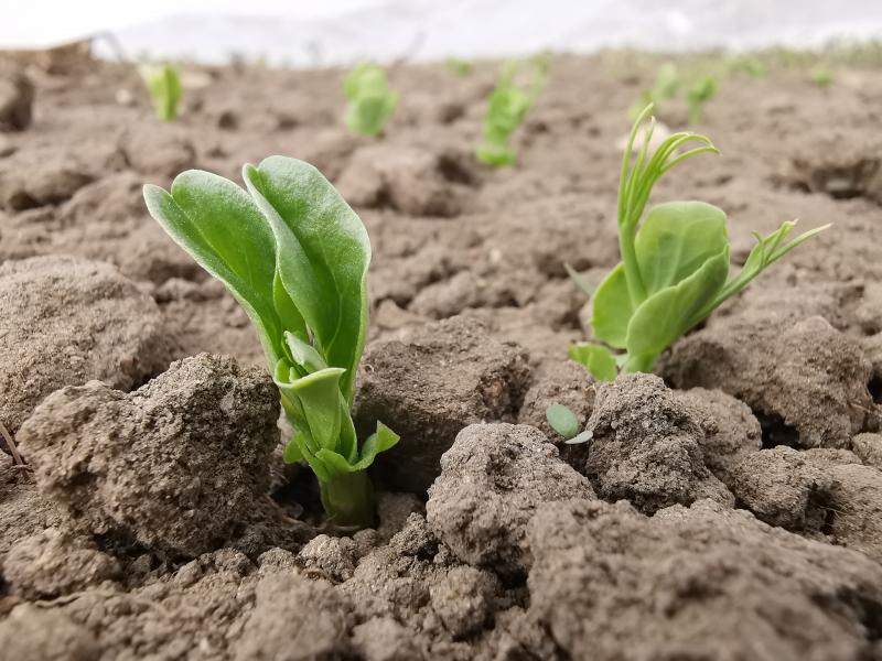
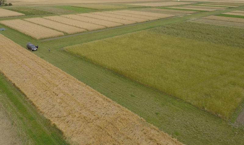
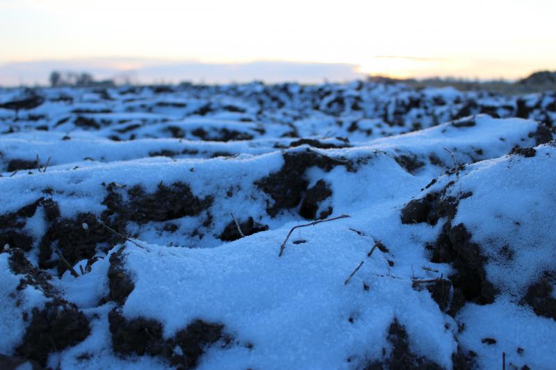
Photos

Geographic
Centroid/Representative Coordinates
Latitude: 55.66917 Longitude: 13.1027
Size
ca. 78.00ha
Elevation (min)
6.70msl
Elevation (max)
19.20msl
Download