Teakettle Creek – Watershed 2 NEON - United States of America
DEIMS.ID
https://deims.org/dd4fd34c-93af-4e87-acd2-70bbf210acd9
ProTip! Use the DEIMS.ID to reference sites in papers, reports or anywhere else.
Basic Information
Site Name
Teakettle Creek – Watershed 2 NEON
Short name
TECR
Country
United States of America
Web Address
Site Manager
Site Description
Last modified
2025-09-18 15:12:49
![]()
General Characteristics and Status
Site Status
Operational
Year Established
2018
Observed properties
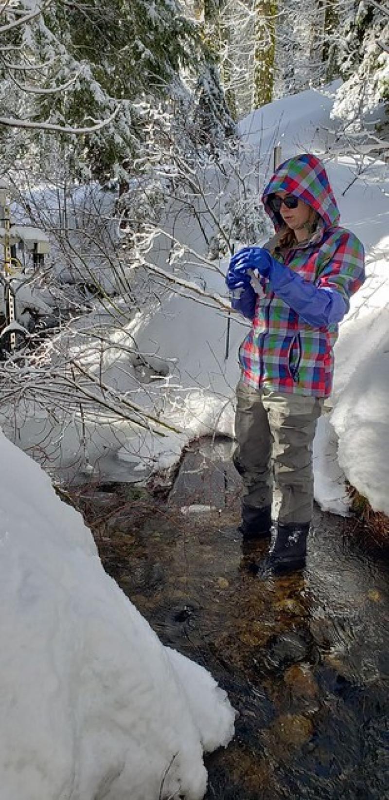
Photos
Geographic
Centroid/Representative Coordinates
Latitude: 36.95528 Longitude: -119.02699
Size
ca. 302.00ha
Elevation (average)
2011.00msl
Elevation (min)
2086.00msl
Elevation (max)
2734.00msl
Download