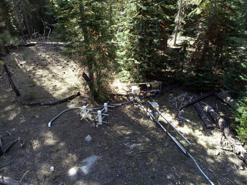
Lower Teakettle NEON - United States of America
DEIMS.ID
https://deims.org/16d02952-7cb5-487b-a5a3-7bc9ba0d557e
ProTip! Use the DEIMS.ID to reference sites in papers, reports or anywhere else.
This record was created automatically using information from the:
Basic Information
Site Name
Lower Teakettle NEON
Short name
TEAK
Country
United States of America
Web Address
Site Manager
Site Description
Last modified
2025-09-18 15:16:31
![]()
General Characteristics and Status
Site Status
Operational
Year Established
2018
Observed properties
Photos
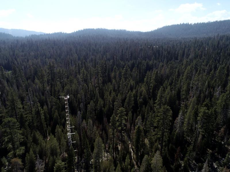
Geographic
Centroid/Representative Coordinates
Latitude: 37.00583 Longitude: -119.00602
Size
ca. 5138.00ha
Elevation (average)
2147.00msl
Elevation (min)
1990.00msl
Elevation (max)
2807.00msl
Download