Uryu Experimental Forest - North Hokkaido Experimental Forests - Japan

Basic Information
Platform Icon

Site Name
Uryu Experimental Forest - North Hokkaido Experimental Forests
Short name
North Hokkaido-3
Country
Japan
Site Manager
Site Description
The Uryu Experimental Forest (ca. 25,000ha) was established in 1901. The forest is located in the basin of the Uryu River, a branch of the Ishikari River, and it surrounds Lake Syumarinai, the largest artificial lake in Japan. The climate is characterized by cold temperature (-35 degrees C) and heavy snowfall (200 cm depth or more) in winter. The northern part of the forest is largely dominated by mixed stands of conifer and broadleaved tree species, including pure stands of Quercus crispula, wetland stands of Picea glehnii, and large riparian forests. In the southern part, Picea glehnii stands on serpentine soil are common as well as second-growth broadleaved stands established following large artificial disturbances. The major ...
Show more ...
Last modified
2020-11-27 14:11:48

CC-BY-NC Logo

General Characteristics and Status
Site Status
Operational
Year Established
1901
Observed properties
atmospheric parameterbiological parameteragricultural parameterecosystem parameterairhumidityairtemperatureprecipitationintensitysnowdepthwinddirectionwindspeedtreeagetreediametertreeheightpruningbiomasstreedistribution
Affiliation and Network Specific Information
Affiliation
ILTERThis site is a verified "ILTER" member.
JaLTER (Japan) (LTER-EAP-JP-10(3))This site is a verified "JaLTER (Japan)" member.
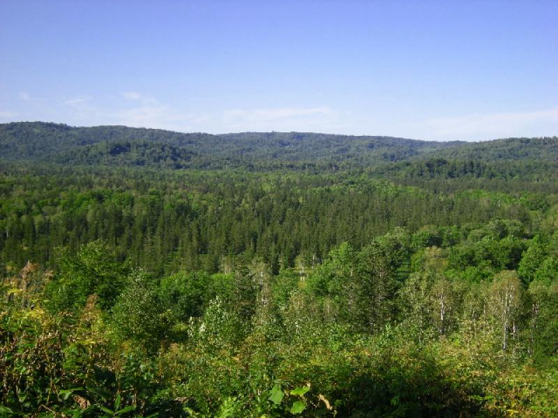
Photos
not defined
not defined
Geographic
20 km
10 mi
Centroid/Representative Coordinates

Latitude: 44.364964 Longitude: 142.261025

Size
ca. 25000.00ha
Elevation (average)
408.00msl
Elevation (min)
178.00msl
Elevation (max)
901.00msl
Download

Site information [.json]

Centroid/representative coordinates [.shp] [.kml]
Bounding Box [.shp] [.kml]
Boundaries [.shp] [.kml]