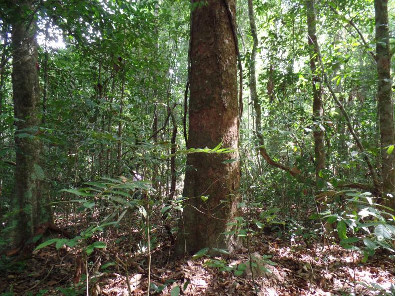
Cerrado-Amazonia Transition - Brazil

Basic Information
Platform Icon

Site Name
Cerrado-Amazonia Transition
Short name
TRAN
Country
Brazil
Site Description
The LTER-TRAN site is located in the transition between the Cerrado and Amazonia biomes, in a region called "arc of deforestation", that suffers strong impacts by the agriculture expansion. The site include 10 subsites (Bacaba, Vera Cruz, Tanguro, Santa Marta, Floresta, Araguaia, Santana, Serra das Araras, Guaporé and Tangará), in five municipalities of Mato Grosso and Pará states. The base-site is located at the Bacaba Municipal Park, in eastern Mato Grosso, where areas are being monitored since 1996, to evaluate the temporal and spatial changes of the vegetation (forests and savannas) and streams, allowing to understand the natural dynamic processes and the changes resulting from human actions. Legal reserves areas in farms and ...
Show more ...
Last modified
2021-03-03 11:03:02

CC-BY-NC Logo

General Characteristics and Status
Site Status
Operational
Year Established
1996
Affiliation and Network Specific Information
Affiliation
ILTERThis site is a verified "ILTER" member.
LTER Brazil (LTER_SAM_BR_15)This site is a verified "LTER Brazil" member.
Photos
Part of the team of researchers of the PELD-TRAN project
Geographic
200 km
100 mi
Centroid/Representative Coordinates

Latitude: -14.70709722 Longitude: -52.35266667

Size
ca. 500.00ha
Elevation (average)
250.00msl
Elevation (min)
190.00msl
Elevation (max)
350.00msl
Download

Site information [.json]

Centroid/representative coordinates [.shp] [.kml]
Bounding Box [.shp] [.kml]
Boundaries [.shp] [.kml]