Hardangervidda National Park - Norway
DEIMS.ID
https://deims.org/e932fc1f-416e-45a7-836c-3a9ebbbf1baa
ProTip! Use the DEIMS.ID to reference sites in papers, reports or anywhere else.
Basic Information
Site Name
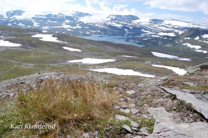
Hardangervidda National Park
Short name
Hardangervidda
Country
Norway
Site Manager
Site Description
Last modified
2020-06-29 10:41:08
![]()
General Characteristics and Status
Site Status
Operational
Year Established
1981
Affiliation and Network Specific Information
Projects
Photos
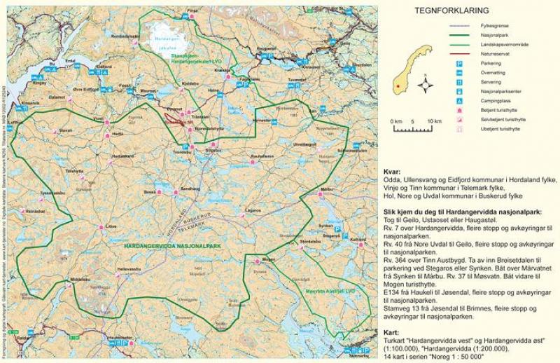
Geographic
Centroid/Representative Coordinates
Latitude: 60.1040713 Longitude: 7.473547
Size
ca. 342200.00ha
Elevation (average)
1100.00msl
Elevation (min)
300.00msl
Elevation (max)
1700.00msl
Download