TERN Robson Creek Rainforest - Australia
DEIMS.ID
https://deims.org/ef223049-cffa-4477-aee6-04784b6d8a45
ProTip! Use the DEIMS.ID to reference sites in papers, reports or anywhere else.
Basic Information
Site Name
TERN Robson Creek Rainforest
Short name
Robson Creek
Country
Australia
Web Address
Site Manager
Site Description
Last modified
2022-07-04 07:00:30
![]()
General Characteristics and Status
Site Status
Operational
Year Established
2009
Observed properties
Affiliation and Network Specific Information
Affiliation
ILTER✔This site is a verified "ILTER" member.
TERN Australia✔ (TERN_ROB_AU_12)This site is a verified "TERN Australia" member.
GERI✔This site is a verified "GERI" member.
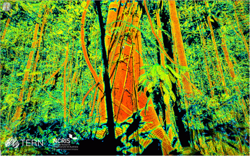
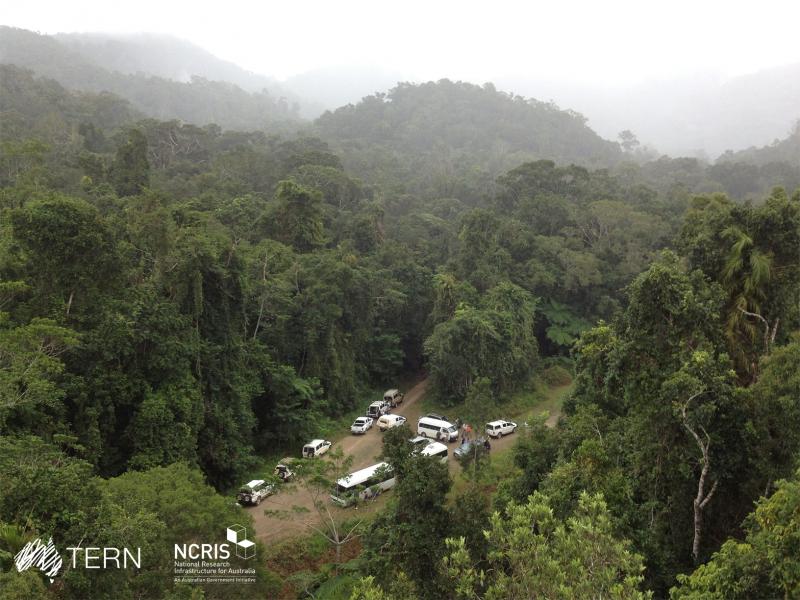
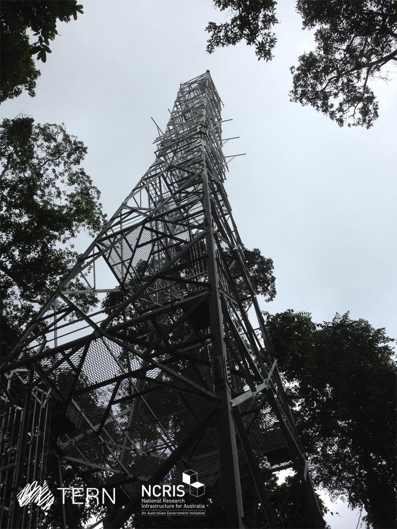
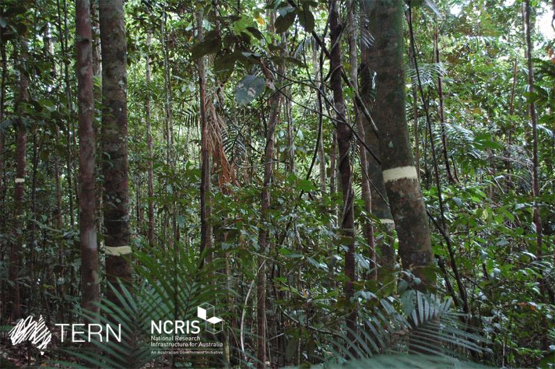
Photos
Geographic
Centroid/Representative Coordinates
Latitude: -17.127134 Longitude: 145.607253
Size
ca. 2500.00ha
Elevation (average)
700.00msl
Elevation (min)
680.00msl
Elevation (max)
740.00msl
Download