Gulf of Trieste - Slovenia

Basic Information
Platform Icon

Site Name
Gulf of Trieste
Short name
GoT_SI
Country
Slovenia
Site Description
The separation line of the semi-enclosed northern basin from the rest of the Adriatic Sea is conventionally defined at the 100 m isobath, at about 43°20’N, from where the bottom depth moderately decreases up to the northern coast reaching the smallest average depth in the northernmost protrusion of the basin, the Gulf of Trieste (surface area 600 km2, volume 9.5 km3, maximal depth approx. 25 m). The oceanographic properties of Gulf of Trieste are affected by water mass exchange with the northern Adriatic at the open western boundary, by local meteorological conditions that induce a pronounced seasonal cycle of seawater temperature (6 - 28 oC) and by the largest freshwater input, the Soča (Isonzo) River. The latter enters the Gulf ...
Show more ...
Last modified
2025-01-07 11:01:56

CC-BY-NC Logo

General Characteristics and Status
Site Status
Operational
Year Established
1984
Observed properties
water parameterecosystem parameteratmospheric parameterchemical parameteravailablephosphoruschlorophyllcontentofwaterconductivitycurrentdirectioncurrentspeeddissolvedorganiccarboninwaternitrogencontentoxygenconcentrationoxygensaturationphotosyntheticallyactiveradiationintensityseasurfacetemperaturesecchidepthwaterdepthwatersalinitywatertemperaturewatertransparencybacillariophyceaeabundancebacillariophyceaespeciesrichnessbacteriaabundancemicrobialdiversityphytoplanktonabundancephytoplanktonbiomassspeciesabundancespeciescompositionairhumidityairtemperatureirradiancewinddirectionwinddirection(meanandgust)windspeedwindspeed(meanandgust)chlorophyllacontentinwaterdissolvednutrientpHvalueofwaterwatersalinity
Affiliation and Network Specific Information
Affiliation
ILTERThis site is a verified "ILTER" member.
LTER EuropeThis site is a verified "LTER Europe" member.
GERIThis site is a verified "GERI" member.
LTER Slovenia (LTER_EU_SI_003)This site is a verified "LTER Slovenia" member.
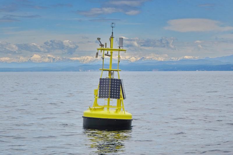
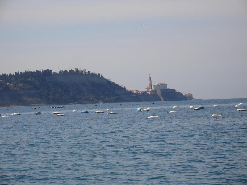
Photos
Oceanographic buoy at long-term monitored location
Geographic
5 km
3 mi
Centroid/Representative Coordinates

Latitude: 45.546825 Longitude: 13.549606

Size
ca. 60000.00ha
Elevation (average)
0.00msl
Elevation (min)
0.00msl
Elevation (max)
0.00msl
Download

Site information [.json]

Centroid/representative coordinates [.shp] [.kml]
Bounding Box [.shp] [.kml]
Boundaries [.shp] [.kml]