Trnava LTSER - Slovakia
DEIMS.ID
https://deims.org/fabf28c6-8fa1-4a81-aaed-ab985cbc4906
ProTip! Use the DEIMS.ID to reference sites in papers, reports or anywhere else.
Basic Information
Site Name
Trnava LTSER
Short name
Trnava
Country
Slovakia
Operating Organisation
Site Manager
Site Description
Last modified
2025-01-07 11:14:56
![]()
General Characteristics and Status
Site Status
Operational
Year Established
2015
Observed properties
Affiliation and Network Specific Information
Affiliation
ILTER✔This site is a verified "ILTER" member.
LTER Slovakia✔ (LTER_EU_SK_003)This site is a verified "LTER Slovakia" member.
LTER Europe✔This site is a verified "LTER Europe" member.
GERI✔This site is a verified "GERI" member.
Projects
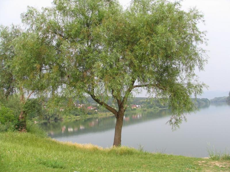
Photos


Geographic
Centroid/Representative Coordinates
Latitude: 48.376203 Longitude: 17.57913
Size
ca. 74132.40ha
Elevation (average)
200.00msl
Elevation (min)
125.00msl
Elevation (max)
767.00msl
Download