Skip to main content
Home
Explore
All Sites
European LTER Sites
Site Map
Networks
Log in
LTER Zöbelboden Measuring Weir
General Information
UUID
a166f9f9-e9ae-4206-af55-8effe38406d5
Related Site
LTER Zöbelboden - Austria
Location Type
Equipment Location
Description
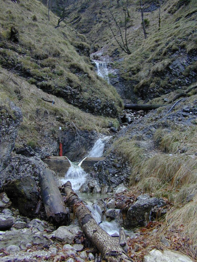
Measuring weir of the catchment runoff at 577 m a.s.l.
Images
Measuring weir Zöbelgraben, (c) Umweltbundesamt
Geographic
Download Record
[.json]
Download Boundaries
[.shp]
[.kml]
Size (calculated automatically)
ca. 0.03ha
Elevation (min)
577.00msl