Skogaryd Research Catchment - Sweden
DEIMS.ID
https://deims.org/13f080f9-4831-4807-91da-bbfecb09a4f2
ProTip! Use the DEIMS.ID to reference sites in papers, reports or anywhere else.
Basic Information
Site Name
Skogaryd Research Catchment
Short name
SRYD
Country
Sweden
Web Address
Operating Organisation
Site Manager
Site Description
Last modified
2025-01-07 11:14:56
![]()
General Characteristics and Status
Site Status
Operational
Year Established
2007
Observed properties
Climate
Precipitation Sum: 837 mm
Standard Reference Period: 1991 - 2020
Standard Reference Period: 1991 - 2020
Affiliation and Network Specific Information
Affiliation
ILTER✔This site is a verified "ILTER" member.
Swedish Infrastructure for Ecosystem Science (SITES)✔This site is a verified "Swedish Infrastructure for Ecosystem Science (SITES)" member.
LTER Europe✔This site is a verified "LTER Europe" member.
ICOS✖ (http://meta.icos-cp.eu/resources/stations/ES_SE-Myc)The affiliation of this site with "ICOS" is not verified by the network on DEIMS-SDR.
LTER Sweden✔ (LTER_EU_SE_019)This site is a verified "LTER Sweden" member.
GERI✔This site is a verified "GERI" member.
Projects
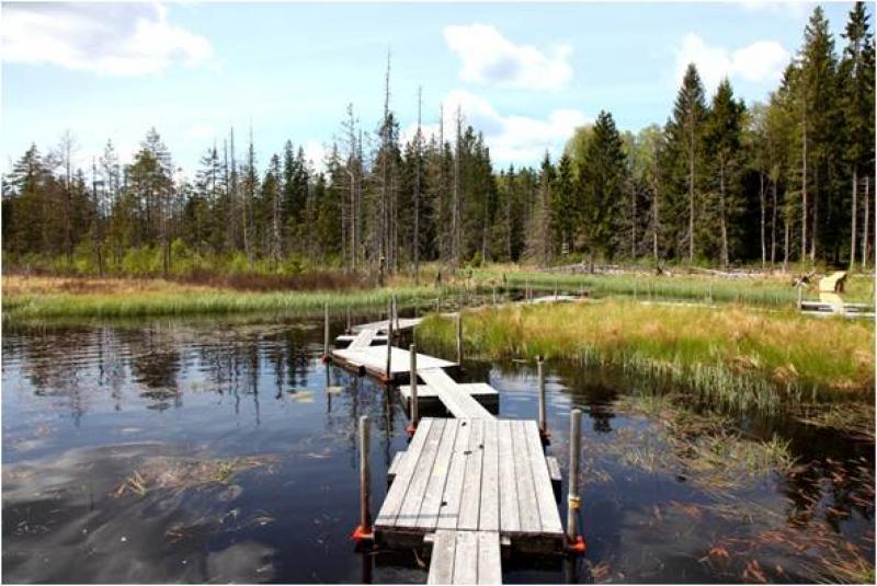
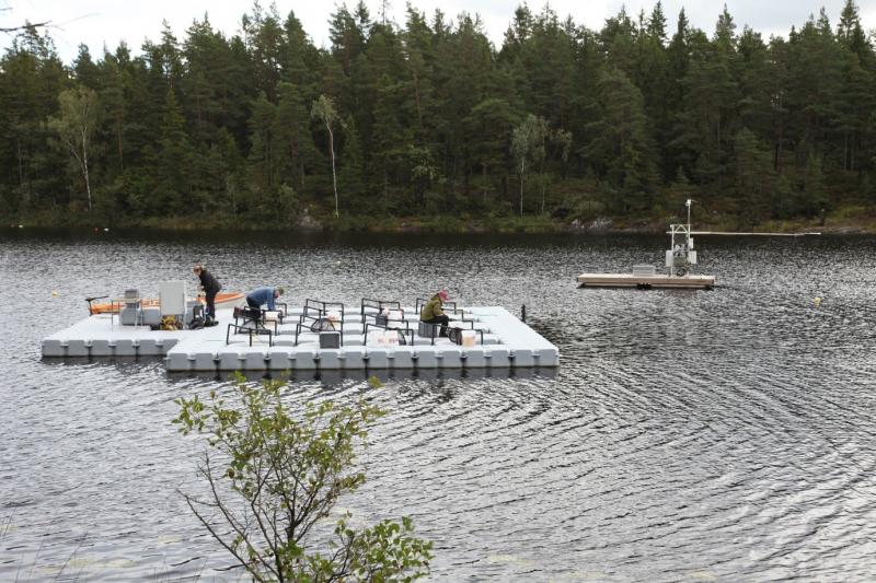
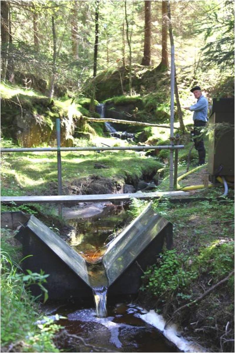
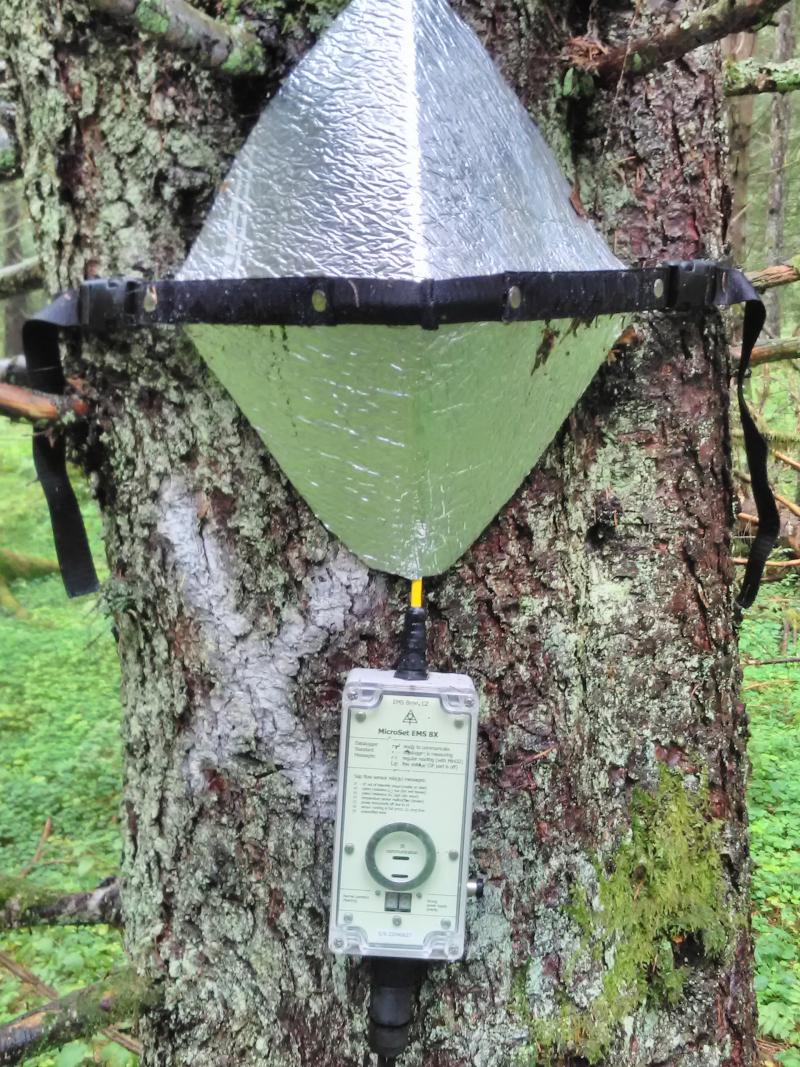
Photos
Geographic
Centroid/Representative Coordinates
Latitude: 58.3641 Longitude: 12.1502
Size
ca. 400.00ha
Elevation (average)
78.00msl
Elevation (min)
62.00msl
Elevation (max)
106.00msl
Download