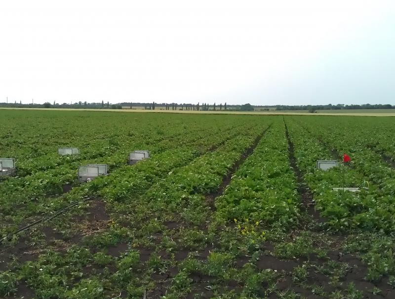
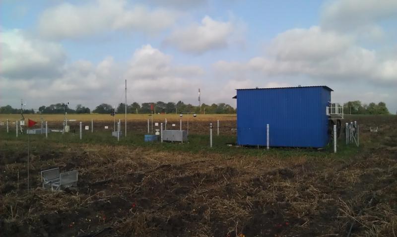
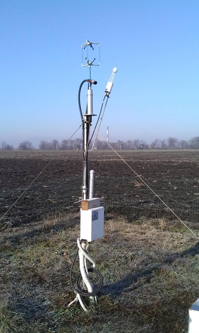
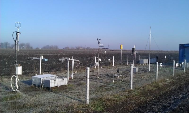
Research monitoring station "Petrodolinskoye" - Ukraine
DEIMS.ID
https://deims.org/247e62ce-cb15-43f7-b3ea-55e819646a65
ProTip! Use the DEIMS.ID to reference sites in papers, reports or anywhere else.
Basic Information
Site Name
Research monitoring station "Petrodolinskoye"
Short name
PTR
Country
Ukraine
Operating Organisation
Site Manager
Site Description
Last modified
2021-02-15 09:39:05
![]()
General Characteristics and Status
Site Status
Operational
Year Established
2006
Observed properties
Affiliation and Network Specific Information
Affiliation
LTER Ukraine✖ (LTER_EU_UA_003)The affiliation of this site with "LTER Ukraine" is not verified by the network on DEIMS-SDR.
Projects
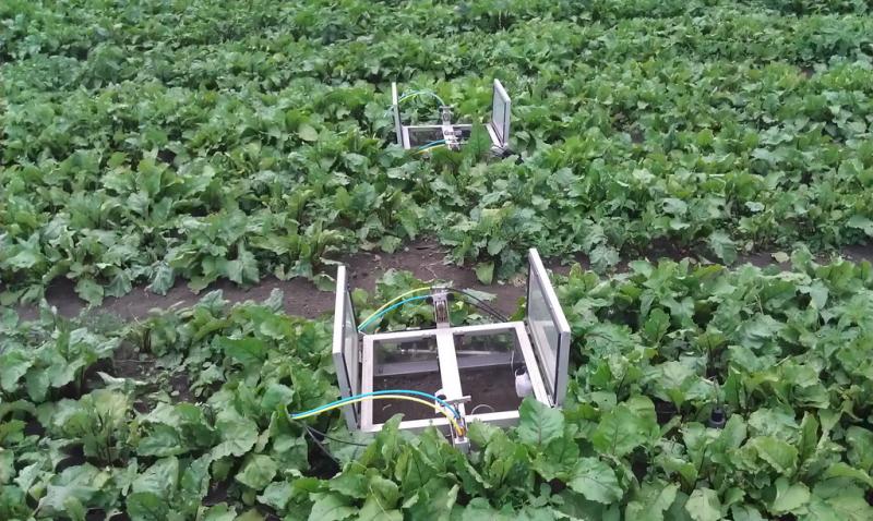
Photos


Geographic
Centroid/Representative Coordinates
Latitude: 46.456144 Longitude: 30.336094
Size
ca. 10.00ha
Elevation (average)
66.00msl
Elevation (min)
66.00msl
Elevation (max)
66.00msl
Download