TERN Calperum Mallee SuperSite - Australia
DEIMS.ID
https://deims.org/3245f5fb-bed2-4957-806f-6797b79af5e7
ProTip! Use the DEIMS.ID to reference sites in papers, reports or anywhere else.
Basic Information
Site Name
TERN Calperum Mallee SuperSite
Short name
TERN CLPM SuperSite
Country
Australia
Web Address
Site Manager
Site Description
Last modified
2021-02-08 23:27:37
![]()
General Characteristics and Status
Site Status
Operational
Year Established
2011
Observed properties
Affiliation and Network Specific Information
Affiliation
ILTER✔This site is a verified "ILTER" member.
TERN Australia✔ (TERN_CPR_AU_5)This site is a verified "TERN Australia" member.
GERI✔This site is a verified "GERI" member.
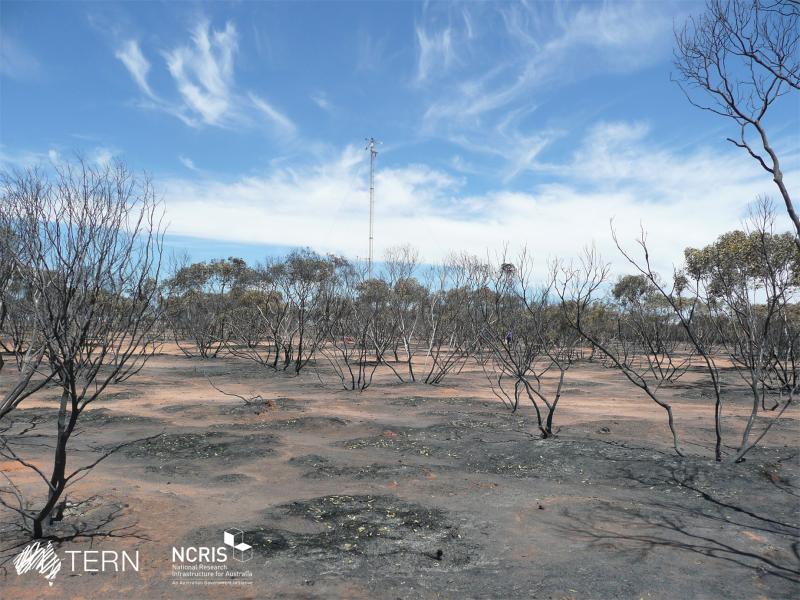
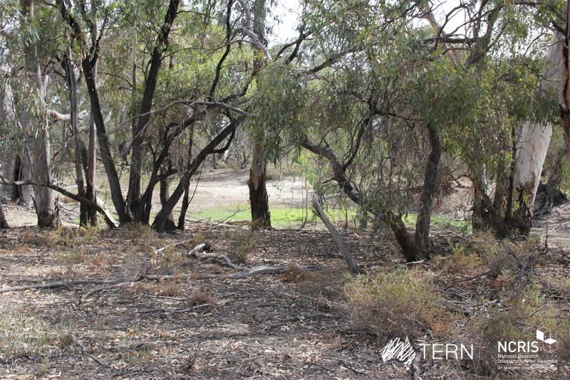
Photos


Geographic
Centroid/Representative Coordinates
Latitude: -34.002717 Longitude: 140.587683
Size
ca. 212126.00ha
Elevation (average)
50.00msl
Elevation (min)
30.00msl
Elevation (max)
88.00msl
Download