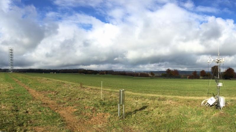
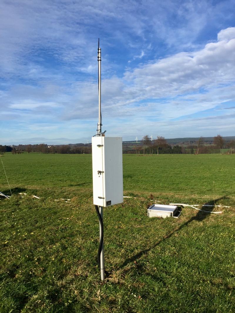
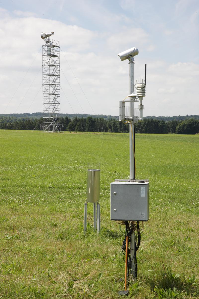
TERENO - Rollesbroich - Germany

Basic Information
Site Name
TERENO - Rollesbroich
Short name
DE-23-02-RB
Country
Germany
Site Manager
Site Description
The Rollesbroich site is located in the low mountain range “Eifel” near the German-Belgium border and covers the area of the small Kieselbach catchment (40 ha) with altitudes ranging from 474 to 518 m.a.s.l.. The climate is temperate maritime with a mean annual air temperature and precipitation of 7.7 °C and 1033 mm, respectively, for the period from 1981 to 2001. Soils are dominated by (stagnic) Cambisols and Stagnosols on Devonian shales with occasional sandstone inclusions that are covered by a periglacial solifluction clay–silt layer. The mountainous grassland vegetation is dominated by perennial ryegrass (Lolium perenne) and smooth meadow grass (Poa pratensis). The study site is highly instrumented. All components of the water balance (e.g. precipitation, evapotranspiration, runoff, soil water content) are continuously monitored using state-of-the-art instrumentation, including weighable lysimeters, runoff gauges, cosmic-ray soil moisture sensors, a wireless sensor network that monitors soil temperature, and soil moisture at 189 locations in different depths (5, 20 and 50 cm) throughout the study site. Periodically also different chamber measurements were made to access soil or plant gas exchange.
Last modified
2023-08-28 02:08:52

CC-BY-NC Logo

General Characteristics and Status
Site Status
Operational
Year Established
2009
Observed properties
Affiliation and Network Specific Information
Affiliation
ILTERThis site is a verified "ILTER" member.
LTER EuropeThis site is a verified "LTER Europe" member.
ICOS (http://meta.icos-cp.eu/resources/stations/ES_DE-RuR)The affiliation of this site with "ICOS" is not verified by the network on DEIMS-SDR.
TERENOThis site is a verified "TERENO" member.
LTER-D (Germany) (LTER_EU_DE_023_002)This site is a verified "LTER-D (Germany)" member.
Photos
TERENO Rollesbroich grassland test site © FZ Jülich
Eddy Covariance station and tower (background) at the Rollesbroich grassland test site © FZ Jülich
Radiometer tower and EC station at the Rollesbroich grassland test site © FZ Jülich
Meteo station at the Rollesbroich grassland test site © FZ Jülich
Cosmic Ray Sensor at the Rollesbroich grassland test site © FZ Jülich
Lysimeters at the Rollesbroich grassland test site © FZ Jülich
Lysimeters and EC station at the Rollesbroich grassland test site © FZ Jülich
Radiometer tower and meteo station at the Rollesbroich grassland test site © FZ Jülich
Geographic
Centroid/Representative Coordinates

Latitude: 50.627297 Longitude: 6.295724

Elevation (average)
500.00msl
Elevation (min)
474.00msl
Elevation (max)
518.00msl
Download

Site information [.json]

Centroid/representative coordinates [.shp] [.kml]
Bounding Box [.shp] [.kml]
Boundaries [.shp] [.kml]