Helsinki Metropolitan Area HMA-LTSER - Finland
DEIMS.ID
https://deims.org/35e3775a-88bc-483f-aed0-b614ce7736e2
ProTip! Use the DEIMS.ID to reference sites in papers, reports or anywhere else.
Basic Information
Site Name
Helsinki Metropolitan Area HMA-LTSER
Short name
HMA-LTSER
Country
Finland
Operating Organisation
Site Manager
Site Description
Last modified
2025-10-03 09:43:08
![]()
General Characteristics and Status
Site Status
Operational
Year Established
2006
Observed properties
Affiliation and Network Specific Information
Affiliation
ILTER✔This site is a verified "ILTER" member.
LTER Europe✔This site is a verified "LTER Europe" member.
LTER Finland✔ (LTER_EU_FI_002)This site is a verified "LTER Finland" member.
GERI✔This site is a verified "GERI" member.
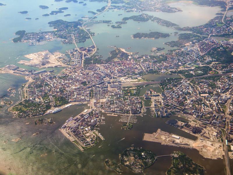
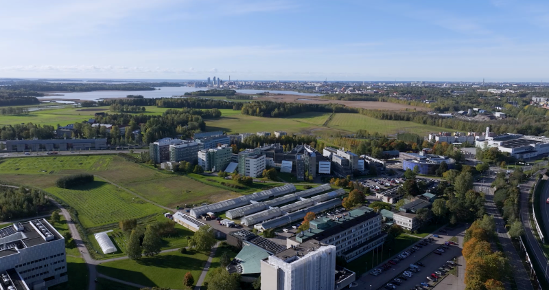
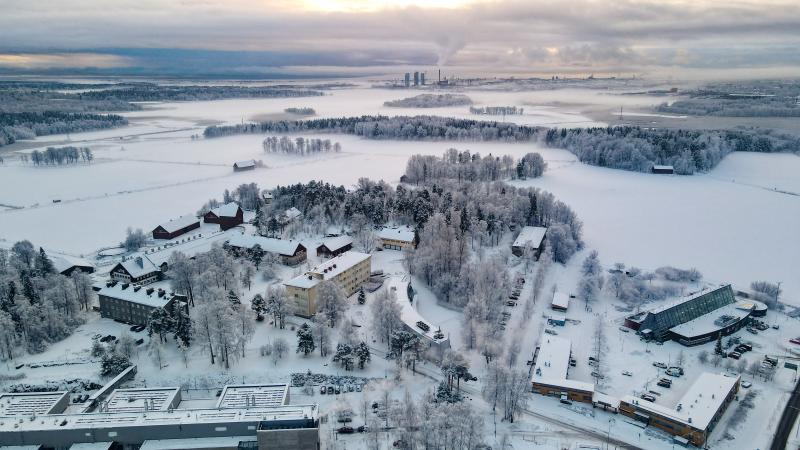
Photos
Geographic
Centroid/Representative Coordinates
Latitude: 60.1667 Longitude: 24.9333
Size
ca. 148478.44ha
Elevation (average)
23.00msl
Elevation (min)
0.00msl
Elevation (max)
180.00msl
Download