Petrohan-Ponor - Bulgaria

Basic Information
Site Name
Petrohan-Ponor
Short name
Petrohan-Ponor
Country
Bulgaria
Site Description
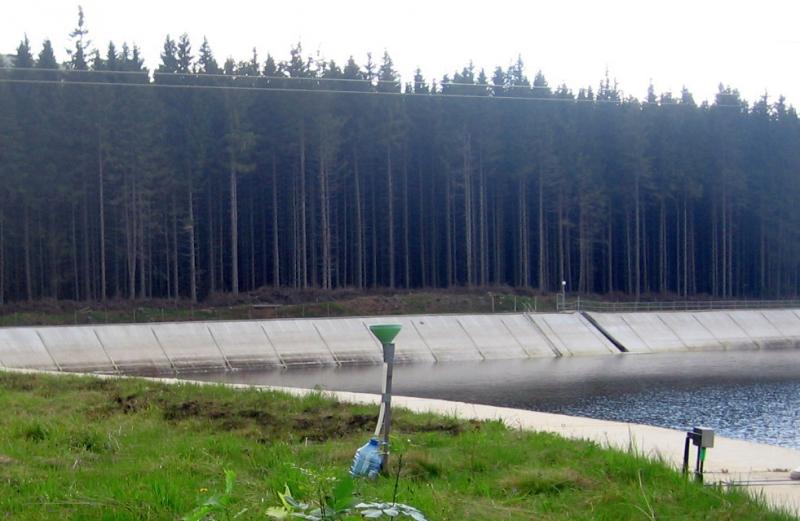
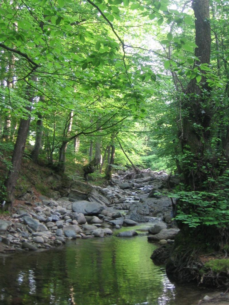
The site Petrohan is situated in the West Balkan range with a total area of 7192 ha. The relief of the region is mountain, steep, with deeply cut river valleys and secondary watersheds with lowest point at altitude 350 m, and highest at 1900 m. The ecological station is situated at 1470 m asl. The hydrological network is dense with constant water flow during the whole year. The prevailing soil type is Distric-Eutric- Cambisols on granite with mean depth up to 80 cm, pH of the soil solution is 4.5- 6.0 pH, C/N- 12-14 and the content of nitrogen in the soil over 1 %. The part of protected forest is 74 %, differentiated as area for water resources including drinking water. The beech forest in the site has been managed since 1893. The total stock is 1 989 695 m3, stock per ha 298 m3, total annual growth 24271 m3 and growth per ha 3.64 m3. The site Petrohan is established in 1986. Hydrochemical investigations include bulk and throughfall (beech and spruce) deposition, stemflow, soil solution, water flow. The following parameters are measured: water amount of bulk precipitation, troughfall, stem flow, lysimetric flow, as well as pH, elecroconductivity and chemistry of all studied compartments (NO3-, SO42-, Cl-, NH4+, K+, Na+, Ca2+, Mg2+, Pd2+, Cd2+), soil chemistry, air temperature, humidity, phenology, annual growth, biomass chemistry. Critical loads of acidifying pollutants and heavy metals have been determined since 1994 for both forest and water.
Last modified
2024-09-04 13:09:30

CC-BY-NC Logo

General Characteristics and Status
Site Status
Operational
Year Established
1986
Affiliation and Network Specific Information
Affiliation
ILTERThis site is a verified "ILTER" member.
LTER Bulgaria (LTER_EU_BG_005)This site is a verified "LTER Bulgaria" member.
LTER EuropeThis site is a verified "LTER Europe" member.
ICP ForestsThe affiliation of this site with "ICP Forests" is not verified by the network on DEIMS-SDR.
Photos
not defined
not defined
not defined
not defined
not defined
not defined
not defined
not defined
Geographic
Centroid/Representative Coordinates

Latitude: 43.1207 Longitude: 23.127

Size
ca. 2.00ha
Elevation (average)
1490.00msl
Elevation (min)
350.00msl
Elevation (max)
1900.00msl
Download

Site information [.json]

Centroid/representative coordinates [.shp] [.kml]
Bounding Box [.shp] [.kml]
Boundaries [.shp] [.kml]