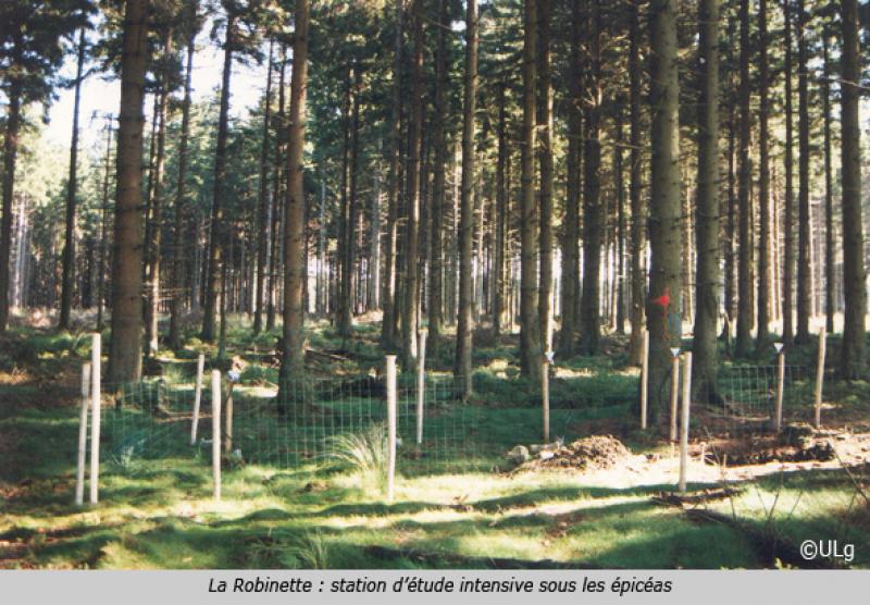
La Robinette - Belgium

Basic Information
Site Name
La Robinette
Short name
La Robinette
Country
Belgium
Site Manager
Site Description
La Robinette is a 81 ha catchment located in the east of Belgium (« Hertogenwald »: Duke's forest) within the municipality of Baelen. Biogeochemistry (nutrient and organic carbon in throughfall, rainfall, soil solution and outlet) has been studied since 1991 as a reference catchment within the frame of a liming experiment (Waroneu catchment) and critical loads calculations. The catchment, initially covered by Picea abies, was subjected to windthrow, reducing coverage to 46% (1990s) and experimental clearcut of 22 ha (1996), followed by afforestation with deciduous species in 1998. Four 2-ha plots were planted with deciduous species in alternate rows. Alder, rowan, birch and oak were also planted within the catchment. In 2012, the catchment was covered by 8% mature and 41% young conifers (Picea abies), 7% deciduous trees (Fagus sylvatica, Quercus robur, Betula pendula, Alnus glutinosa, Sorbus aucuparia, Salix caprea ), 44% open space. Biogeochemical measurements have been complemented with experiments on litterfall, litter decomposition, soil respiration, N cycle processes. Flux and meteorological data have been collected from 2007 to 2011 (CarboEurope) and from end 2016 (ICOS). In addition, since 2013, biogeochemistry and soil microbial parameters (microbial biomass, N mineralization, basal respiration) are studied in 6 intensive plots, reflecting major combinations of vegetation and upper soil characteristics within the catchment.
Last modified
2021-11-23 11:11:41

CC-BY-NC Logo

General Characteristics and Status
Site Status
Operational
Year Established
1991
Observed properties
Affiliation and Network Specific Information
Affiliation
ILTERThis site is a verified "ILTER" member.
LTER EuropeThis site is a verified "LTER Europe" member.
LTER Belgium (LTER_EU_BE_27)This site is a verified "LTER Belgium" member.
Photos
not defined
not defined
not defined
not defined
not defined
not defined
not defined
not defined
Geographic
Centroid/Representative Coordinates

Latitude: 50.56096 Longitude: 6.07388

Elevation (average)
500.00msl
Elevation (min)
470.00msl
Elevation (max)
530.00msl
Download

Site information [.json]

Centroid/representative coordinates [.shp] [.kml]
Bounding Box [.shp] [.kml]
Boundaries [.shp] [.kml]