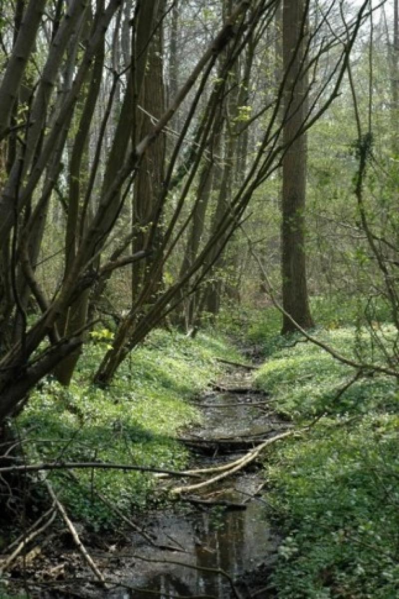
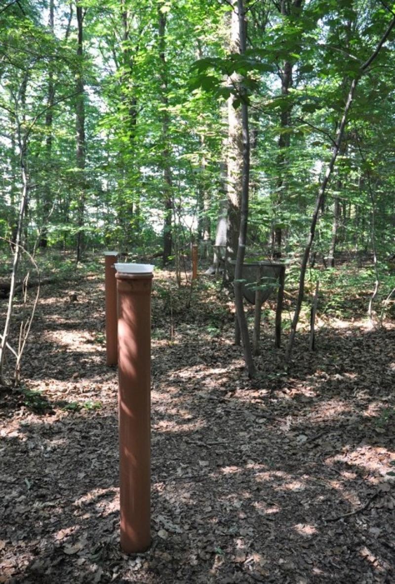
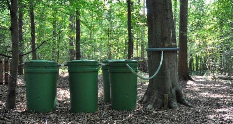
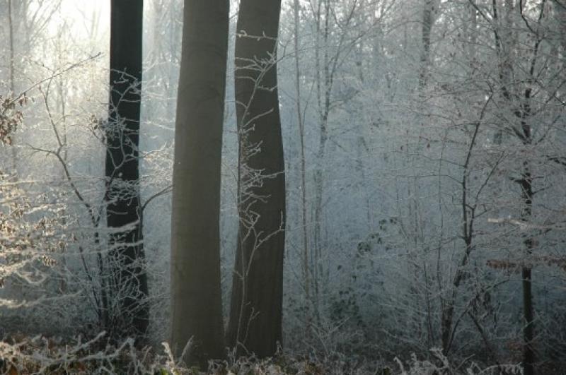
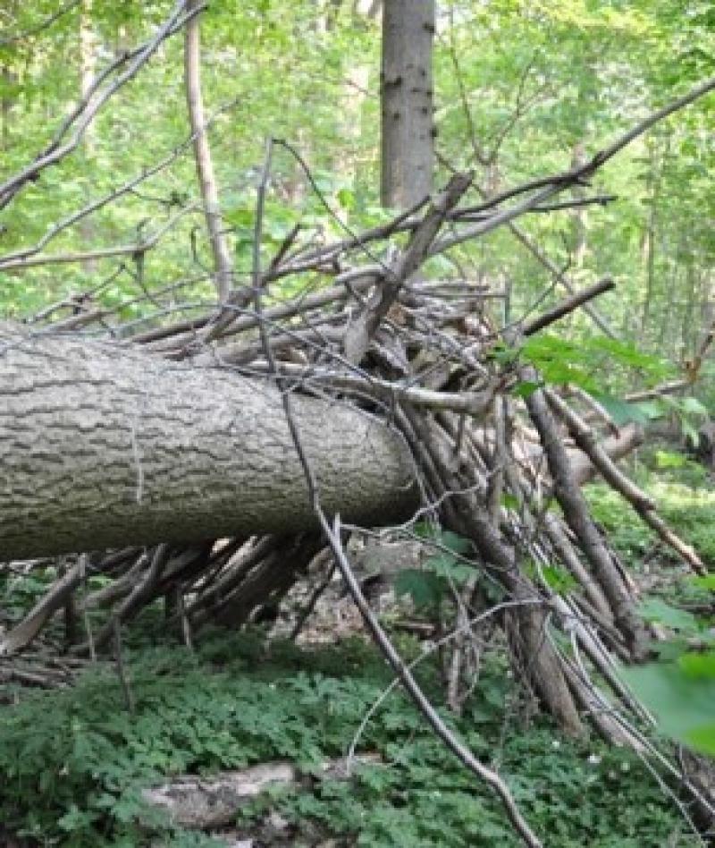
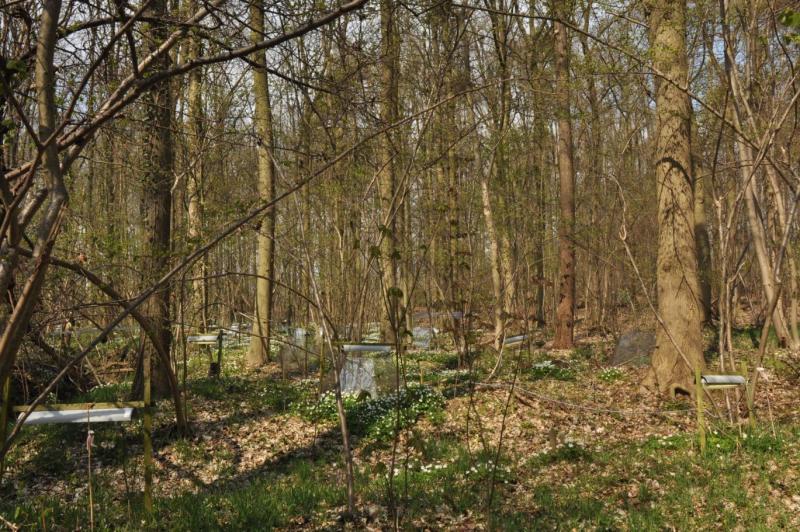
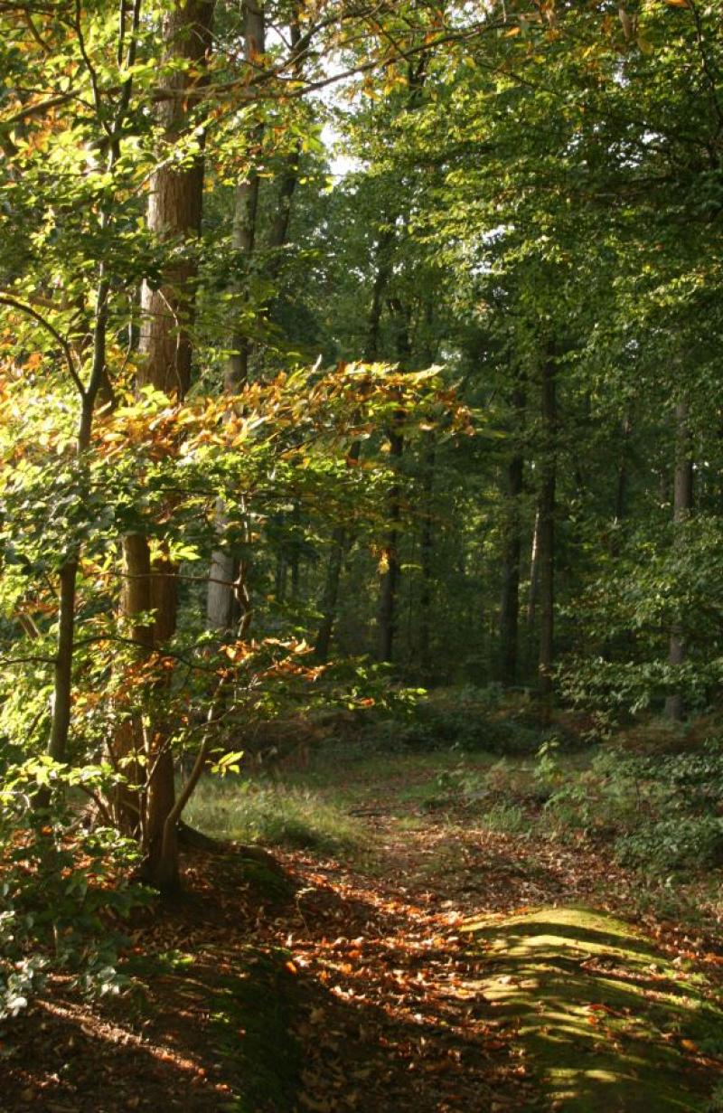
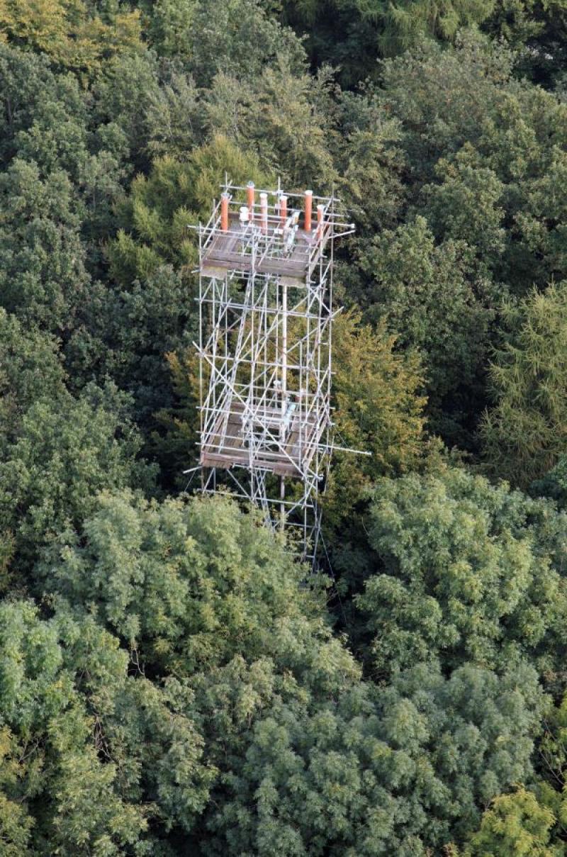
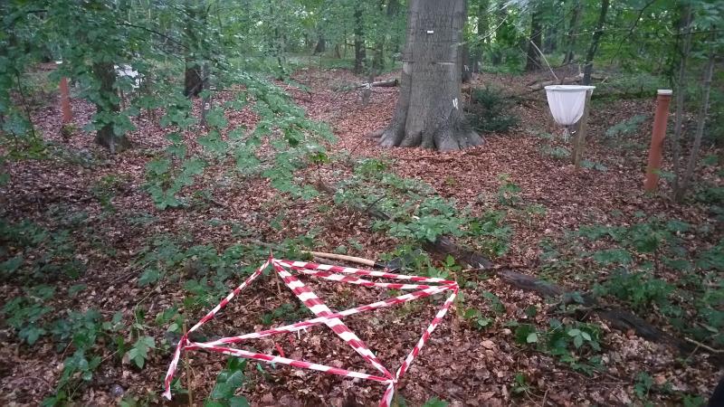
Gontrode - Aelmoeseneie Forest - Belgium
DEIMS.ID
https://deims.org/4a469a86-868b-4160-b72e-10a1b4e09356
ProTip! Use the DEIMS.ID to reference sites in papers, reports or anywhere else.
Basic Information
Site Name
Gontrode - Aelmoeseneie Forest
Short name
Gontrode
Country
Belgium
Web Address
Site Manager
Site Description
Last modified
2025-01-07 11:14:56
![]()
General Characteristics and Status
Site Status
Operational
Year Established
1987
Observed properties
Affiliation and Network Specific Information
Affiliation
ILTER✔This site is a verified "ILTER" member.
LTER Europe✔This site is a verified "LTER Europe" member.
ICP Forests✔ (2_16)This site is a verified "ICP Forests" member.
LTER Belgium✔ (LTER_EU_BE_03)This site is a verified "LTER Belgium" member.
GERI✔This site is a verified "GERI" member.
Photos
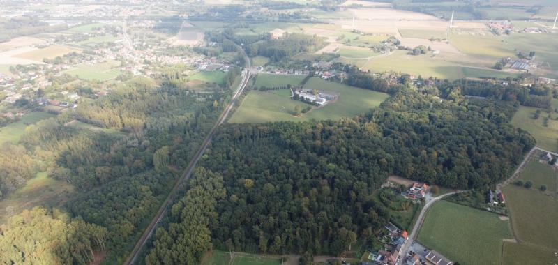

Geographic
Centroid/Representative Coordinates
Latitude: 50.975029 Longitude: 3.798124
Size
ca. 43.09ha
Elevation (average)
20.00msl
Elevation (min)
12.00msl
Elevation (max)
21.00msl
Download