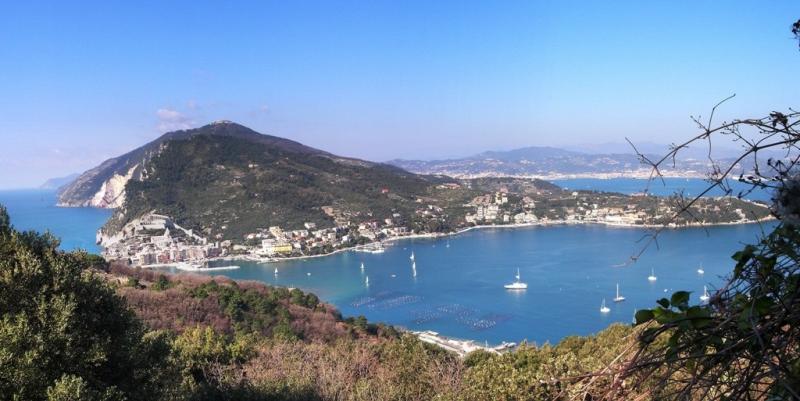
Eastern Ligurian Sea - Italy

Basic Information
Site Name
Eastern Ligurian Sea
Short name
Eastern Ligurian Sea
Country
Italy
Site Description
The study area is located between the mouth of the river Magra and the promontory of Monterosso. The Eastern Ligurian Sea is particularly interesting from a scientific point of view because it includes marine protected areas recognized by UNESCO (e.g. Porto Venere, Cinque Terre), located close to activities with potentially high environmental impacts. Furthermore, the site is very interesting for its biodiversity, as there is an unusually high number of species of both flora and fauna (including deep sea species), and it is part of the Whale Sanctuary. A long-term series of data is available and derives from high-frequency measurements and samplings to assess environmental and biological parameters. In particular the data concern ...
Show more ...
Last modified
2025-01-07 11:01:56

CC-BY-NC Logo

General Characteristics and Status
Site Status
Operational
Year Established
1973
Observed properties
water parameterchemical parameterecosystem parameteratmospheric parameterbiological parameterchlorophyllcontentofwaterconductivityoxygenconcentrationphotosyntheticallyactiveradiationintensityseasurfacetemperaturesecchidepthwaterdepthwaterqualitywatertemperaturewatertransparencywatervelocitydissolvednutrientpercentcarbonpercentorganiccarbonpHvalueofwatersuspendedsolidstotalorganiccarbonwatersalinitycommunitycompositiondiversityindexecosystemstructurehabitatstructureinorganicnutrientcontentspeciespresencespeciesturnoverairhumidityairtemperatureprecipitationintensitysolarradiationwinddirectionwindspeedleafarealeafarearationitrogencontent
Affiliation and Network Specific Information
Affiliation
ILTERThis site is a verified "ILTER" member.
LTER EuropeThis site is a verified "LTER Europe" member.
LTER Italia (Italy) (LTER_EU_IT_107)This site is a verified "LTER Italia (Italy)" member.
GERIThis site is a verified "GERI" member.
Photos
Eastern Ligurian Sea Site
Geographic
10 km
5 mi
Centroid/Representative Coordinates

Latitude: 44.002684 Longitude: 9.992889

Size
ca. 54004.89ha
Elevation (average)
0.00msl
Elevation (min)
0.00msl
Elevation (max)
0.00msl
Download

Site information [.json]

Centroid/representative coordinates [.shp] [.kml]
Bounding Box [.shp] [.kml]
Boundaries [.shp] [.kml]