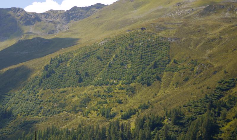
The research site Stillberg is located in the treeline ecotone on a northeast-facing slope (30 - 45°), near Davos, Switzerland in the Central Alps (eastern Switzerland; 47°82’ N, 78°30’ E). The research site features topographically highly structured terrain across an elevational gradient of 1980 to 2230 m a.s.l.. Mean annual precipitation at Stillberg is 1050 mm. The July mean daily temperature is 9.4°C, while the mean daily temperature in January is –5.8°C. Average maximum snow depth is 146 cm, varying between 60 cm on wind exposed hilltops and 420 cm on leeward slopes.
The research facility Stillberg is a long-term monitoring site near treeline in the Swiss Alps. Research focuses on I) the ecology and limiting factors of the treeline ecotone; II) potential effects of climate- and land-use change in Alpine ecosystems and III) establishing suitable measures to decrease the risk of snow avalanches. In 1955, research activities began at the Stillberg site with the initiation of an interdisciplinary mountain research program by the Swiss Federal Institute for Forest, Snow and Landscape Research WSL. After a series of observational studies and pre-experiments, the main experiment was established in 1975 by the plantation of 92’000 seedlings of Larix decidua, Pinus mugo ssp. uncinata, and Pinus cembra following a gridded planting scheme along an elevational gradient of 150 m (2075 – 2230 m a.s.l.). Trees were planted in >4000 square plots, with 25 trees in each plot placed into the original dwarf shrub community. Survival, growth and damage of trees was intensely monitored. In addition to the afforestation experiment, various other ecological experiments have been carried out at the Stillberg research site, such as a study combining free-air carbon dioxide enrichment with soil warming and a nutrient addition study. More recently, plant-snow interactions, plant-soil interactions and community shifts under experimental warming as well as drivers of tree seedling recruitment in this treeline ecotone are studied.
The Stillberg site is a long-term research infrastructure of the Swiss Federal Institute for Forest, Snow and Landscape Research (WSL) and located in close proximity of the WSL Institute for Snow and Avalanche Research SLF in Davos. The surrounding Dischma valley is a well studied mountain valley with a large number of studies about alpine ecology, geomorphology, land-use change and forest dynamics that was part of the UNESCO Man and the Biosphere program MAB. Maintained infrastructure of the Stillberg site includes an automatic weather station, a research laboratory at 2000 m a.s.l. (with working space, kitchen and sleeping rooms), a cable car and a helicopter platform at the upper limit of the afforestation experiment at 2230 m a.s.l.