TERENO - Schafstaedt - Germany
DEIMS.ID
https://deims.org/68ef735c-bd72-4400-ab15-0c3c3a8a37ee
ProTip! Use the DEIMS.ID to reference sites in papers, reports or anywhere else.
Basic Information
Site Name
TERENO - Schafstaedt
Short name
DE-01-LH-SS
Country
Germany
Web Address
Operating Organisation
Site Manager
Site Description
Last modified
2025-12-15 10:31:07
![]()
General Characteristics and Status
Site Status
Operational
Year Established
2002
Observed properties
Affiliation and Network Specific Information
Affiliation
ILTER✔This site is a verified "ILTER" member.
LTER Europe✔This site is a verified "LTER Europe" member.
TERENO✔This site is a verified "TERENO" member.
LTER-D (Germany)✔ (LTER_EU_DE_002_007)This site is a verified "LTER-D (Germany)" member.
Projects
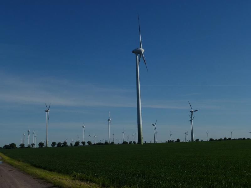
Photos


Geographic
Centroid/Representative Coordinates
Latitude: 51.3767 Longitude: 11.7305
Size
ca. 1600.00ha
Elevation (average)
170.00msl
Elevation (min)
160.00msl
Elevation (max)
190.00msl
Download