OZCAR-RI H+ PLOEMEUR - GUIDEL CZO - France

DEIMS.ID
https://deims.org/731f3ced-148d-4eb5-aa46-870fa22be713

 ProTip! Use the DEIMS.ID to reference sites in papers, reports or anywhere else.

Basic Information
Site Name
OZCAR-RI H+ PLOEMEUR - GUIDEL CZO
Short name
H+_PL
Country
France
Site Description
The Ploemeur-Guidel observatory (Britanny, France) is focusing on surface-depth relationships in a fractured crystalline geological context and oceanic climate. It is built on 2 sub-sites, one highly anthropized, the other in natural state. In Ploemeur, groundwater has been pumped since 1991, supplying more than 1 million m3 of clean drinking water annual at a sustainable rate. Such high productivity is explained the specific fractured network in granite and micaschists, draining deep geological layers (~400 m). Extracted water quality is very good, with limited nitrate concentration, in a region that has been strongly affected by widespread pollution. Guidel site is in a similar, but natural context. Deep iron-rich groundwater is upflowing, creating surface and deep groundwater-dependent ecosystems, and feeding a classified coastal wetland. Both sites have a very dense equipment to study rapid to long-term surface-depth exchanges: a flux tower, unsaturated zone monitoring, a network of ~50 shallow (<10m) and deep boreholes (>80m), hydrochemical, temperature and deformation. An well-characterized fractured experimental site offers the possibility to conduct experiments to test innovative instruments and develop new methodologies
Last modified
2025-01-07 11:14:56

CC-BY-NC Logo

General Characteristics and Status
Site Status
Operational
Year Established
1991
Observed properties
Affiliation and Network Specific Information
Affiliation
ILTERThis site is a verified "ILTER" member.
OZCAR RIThis site is a verified "OZCAR RI" member.
LTER EuropeThis site is a verified "LTER Europe" member.
GERIThis site is a verified "GERI" member.
LTER France (CZO_EU_FR_204)This site is a verified "LTER France" member.
Critical Zone Collaborative Network (CZ Net)The affiliation of this site with "Critical Zone Collaborative Network (CZ Net)" is not verified by the network on DEIMS.
Photos
Ploemeur - pumped site
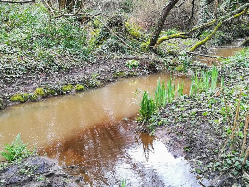
Guidel - iron-rich groundwater river mix to a surface water river
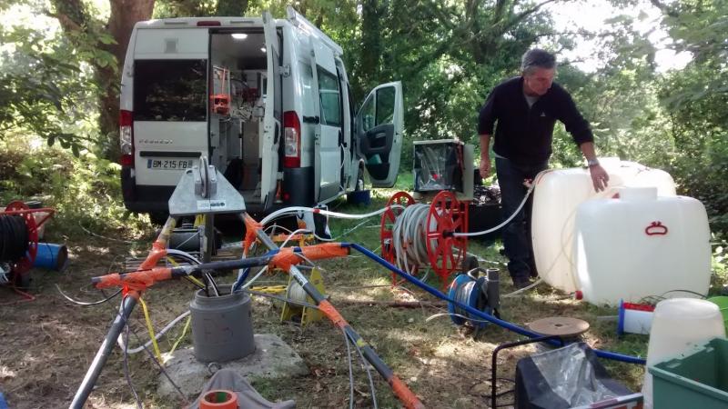
Tracing experiment (conservative, reactive, dissolved gazes)
Granite outcrop on the sea shore - dense fracture network
Natura 2000 lake directly fed by groundwater inflow
Stang Er Brunn - Experimental setup
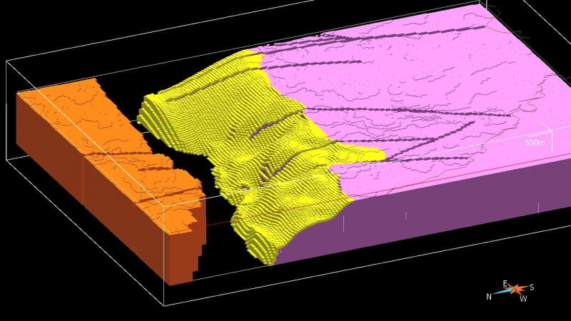
Large-scale geological model
Geographic
Centroid/Representative Coordinates

Latitude: 47.74665 Longitude: -3.4286

Size
ca. 5000.00ha
Elevation (average)
20.00msl
Elevation (min)
0.00msl
Elevation (max)
60.00msl
Download

Site information [.json]

Centroid/representative coordinates [.shp] [.kml] [.geojson]
Bounding Box [.shp] [.kml] [.geojson]