Kis-Balaton Site, Balaton LTER - Hungary

Basic Information
Site Name
Kis-Balaton Site, Balaton LTER
Short name
hu_ba_kisba
Country
Hungary
Site Manager
Site Description
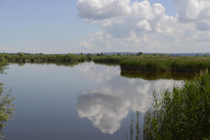
In order to combat the eutrophication of Lake Balaton, the Kis-Balaton Water Protection System (KBWPS) was initiated in the early 1980s. Originally, the KBWPS consisted of an 18 km2 shallow (less than 1.3 m) artificial lake system (Lake Hídvégi) and a 16 km2 wetland, which were constructed on the site of the former Kis-Balaton wetland in the mid-1980s. Later, the wetland part of the KBWPS was significantly enlarged (over 50 km2). Lake Hídvégi was designed to retain nutrients and provide ideal conditions for algae growth, while the wetland component of the KBWPS prevented these algae from entering Lake Balaton. Regular limnological, ornithological, ichthyological and plant ecological measurements are carried out in both Lake Hídvég and the wetland part of the KBWPS.
Last modified
2025-01-07 11:01:56

CC-BY-NC Logo

General Characteristics and Status
Site Status
Operational
Year Established
1985
Observed properties
Affiliation and Network Specific Information
Affiliation
LTER Hungary (LTER_EU_HU_006)This site is a verified "LTER Hungary" member.
ILTERThis site is a verified "ILTER" member.
LTER EuropeThis site is a verified "LTER Europe" member.
GERIThis site is a verified "GERI" member.
Photos
Balaton LTSER, Kis-Balaton LTER site
Geographic
Centroid/Representative Coordinates

Latitude: 46.6333 Longitude: 17.1833

Size
ca. 3400.00ha
Elevation (average)
104.00msl
Elevation (min)
104.00msl
Elevation (max)
104.00msl
Download
Site information [.json]

Centroid/representative coordinates [.shp] [.kml]
Bounding Box [.shp] [.kml]
Boundaries [.shp] [.kml]