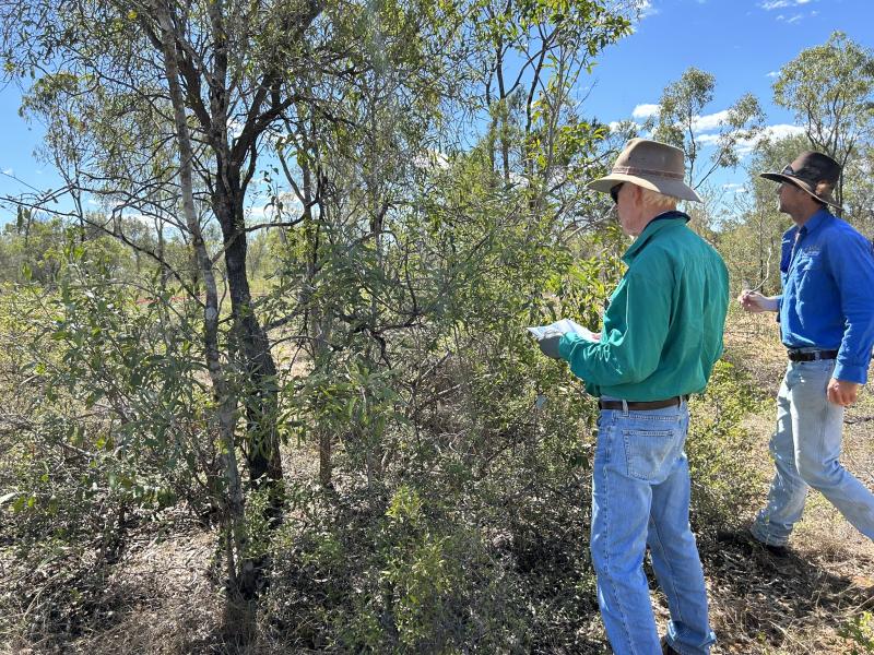
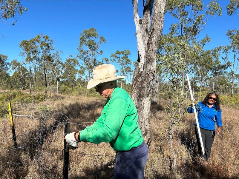
TERN Fletcherview Tropical Rangeland SuperSite and Critical Zone Observatory - Australia
DEIMS.ID
https://deims.org/89e3bf9a-3e12-469e-8b7a-7e6269fc04d7
ProTip! Use the DEIMS.ID to reference sites in papers, reports or anywhere else.
Basic Information
Site Name
TERN Fletcherview Tropical Rangeland SuperSite and Critical Zone Observatory
Short name
Fletcherview SuperSite
Country
Australia
Operating Organisation
Site Manager
Site Description
Last modified
2025-06-04 14:57:24
![]()
General Characteristics and Status
Site Status
Operational
Year Established
2021
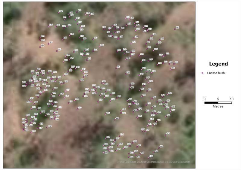
Observed properties
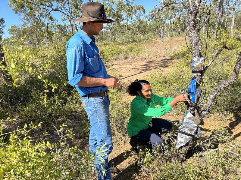
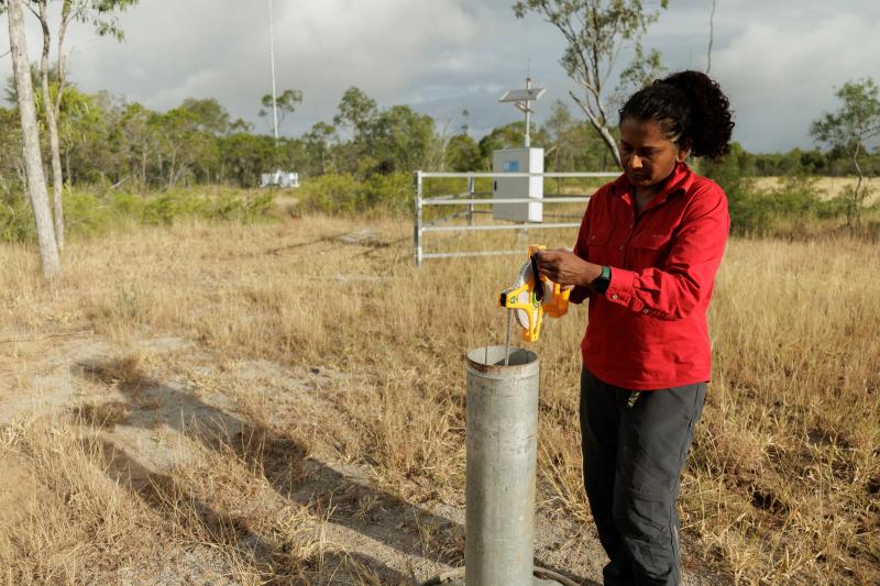
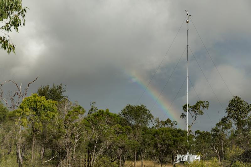
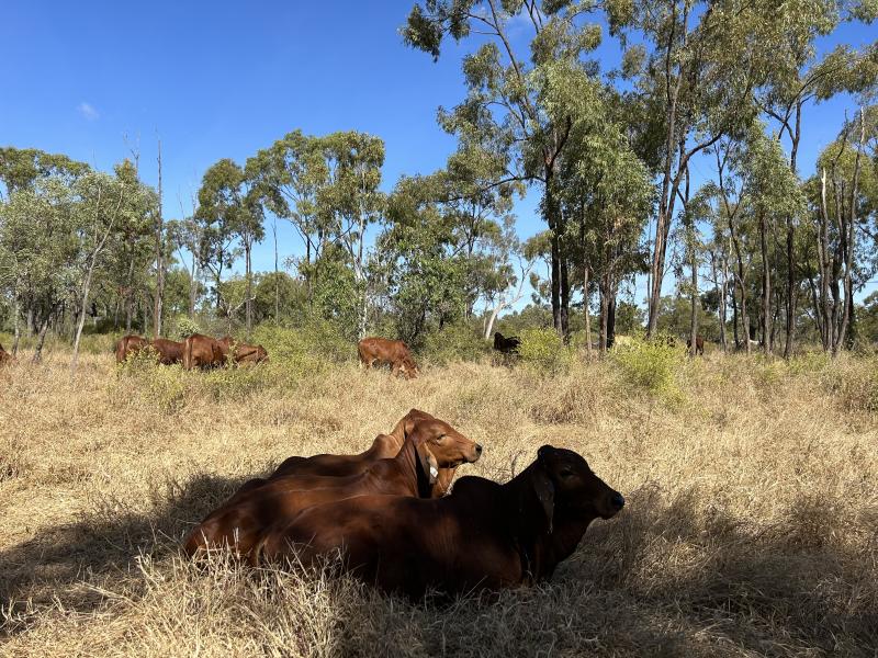
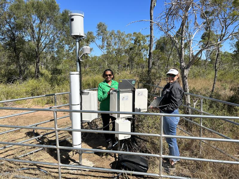
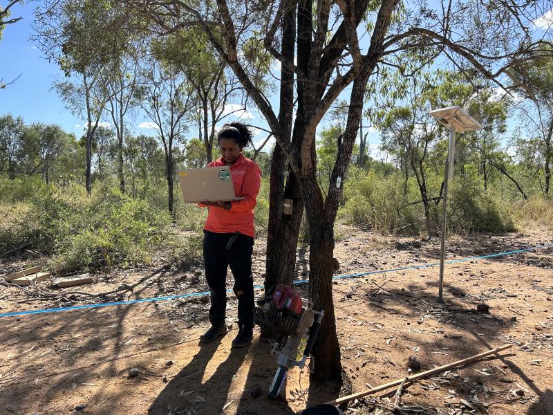
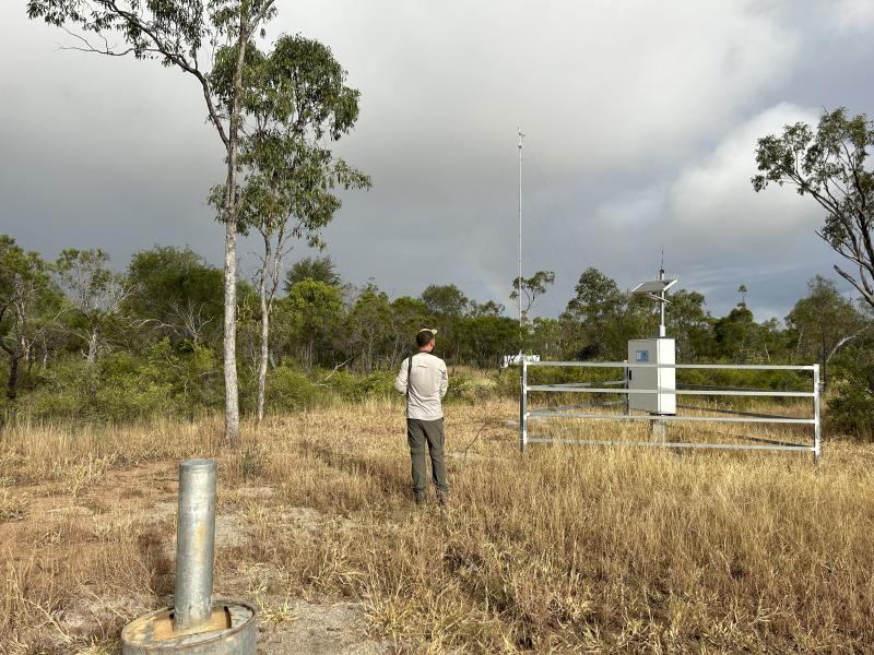
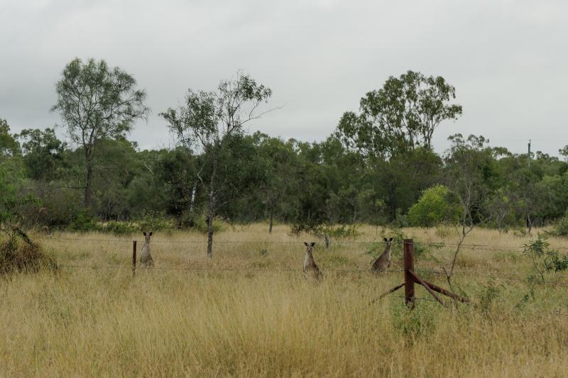
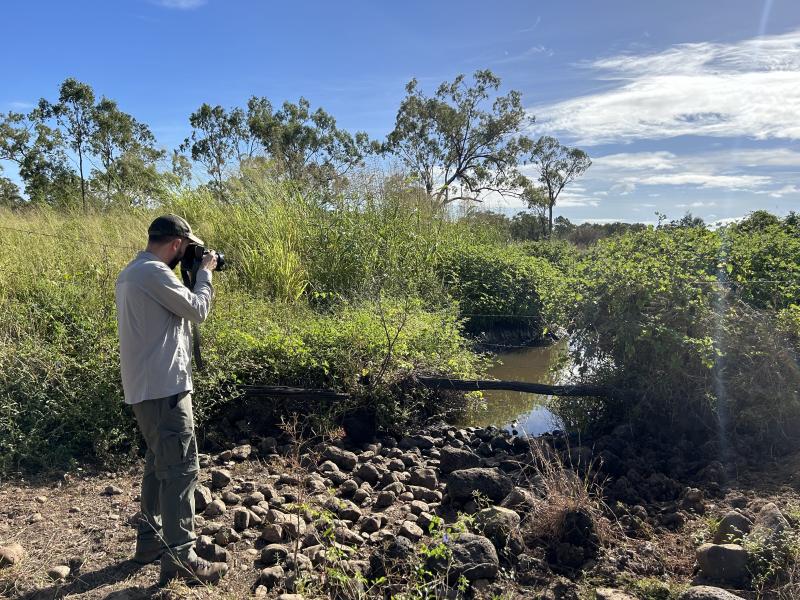
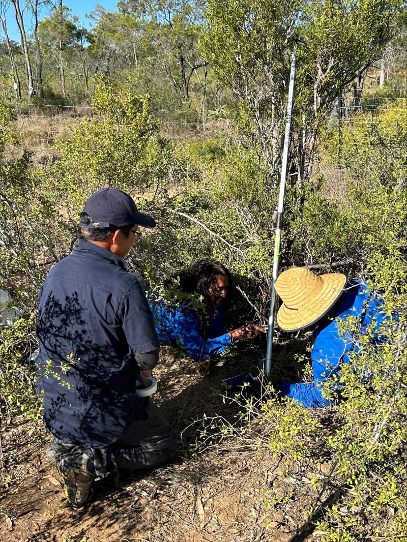
Photos


Geographic
Centroid/Representative Coordinates
Latitude: -19.887285 Longitude: 146.189138
Size
ca. 1.00ha
Elevation (average)
261.00msl
Download