Lago di Orta - Italy

Basic Information
Site Name
Lago di Orta
Short name
IT08-003-A
Country
Italy
Operating Organisation
Site Manager
Site Description
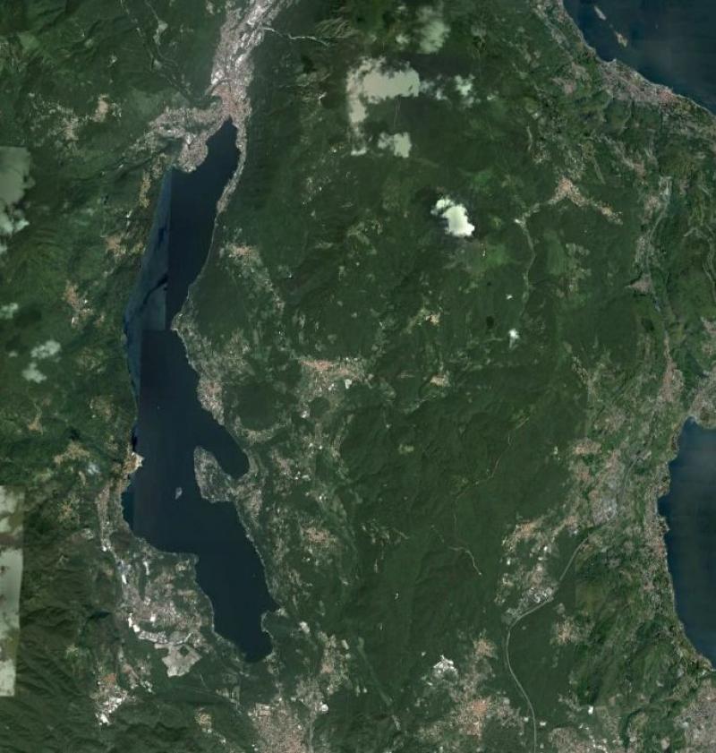
Lake Orta is a deep subalpine lake, located in Northern Italy, at a mean altitude of 290 m a.s.l. Its perimeter is 33,8 km, surface area 18,14 km2, volume 1,29 km3. Lake Orta has a maximum depth of 143 m and a mean depth of 71 m. Lake Orta is well known for being polluted by industrial discharges (copper sulphate and ammonia) since the late 1920: as a consequence, the pH of the lake water dropped down till 4 and the food web was almost completely destroyed, except for some few, strongly adapted species. The pollution stopped around mid 1980s and a liming intervention was carried out in 1989-1990, to neutralize the acidic waters of the lake. The recovery was very fast, new species started to colonise the lake just after the liming. The lake, however, is still at risk, due to the large amount of heavy metals stored in the sediments.
Last modified
2025-01-07 11:01:56

CC-BY-NC Logo

General Characteristics and Status
Site Status
Operational
Year Established
1960
Observed properties
Affiliation and Network Specific Information
Affiliation
ILTERThis site is a verified "ILTER" member.
LTER EuropeThis site is a verified "LTER Europe" member.
LTER Italia (Italy) (LTER_EU_IT_042)This site is a verified "LTER Italia (Italy)" member.
GERIThis site is a verified "GERI" member.
Photos
Satellite map of Lake Orta
Geographic
Centroid/Representative Coordinates

Latitude: 45.817692 Longitude: 8.400248

Size
ca. 1814.00ha
Elevation (average)
290.00msl
Elevation (min)
350.00msl
Elevation (max)
1643.00msl
Download
Site information [.json]

Centroid/representative coordinates [.shp] [.kml]
Bounding Box [.shp] [.kml]
Boundaries [.shp] [.kml]